What is recorded here
On low-lying poorly drained pasture, c. 715m N of the River Shannon. Not depicted on OS historic mapping. Identified by Celie O'Rahilly, archaeologist, Limerick Corporation, as a large oval-shaped cropmark on OSi 1:10k aerial photography (Ref. OS2/746, Photo No. 0793) taken 1985. Visible as an oval-shaped cropmark (approx. dims. 37m NE-SW x 31m NW-SE) on Digital Globe aerial orthoimage taken 2011-2013 and on Google Earth orthoimage taken 19/11/2019. A number of linear features possibly drainage channels are also visible to E.
See attached Google Earth orthoimages.
Compiled by: Alison McQueen and Vera Rahilly
Date of upload: 24 June 2020
The monument record does not grant public access. Check the route and ask the landowner before entering private land.
- What survives
- Recorded monument
Places near here
 Not shownHouse, Bronze Age · 801 yd
 Coreen Castle (in ruins)Castle, unclassified · 816 yd
 Hachured - IndicatedFairy fort / earthen ringfort · 864 yd
 Coonagh NatureNature reserve · 1168 yd
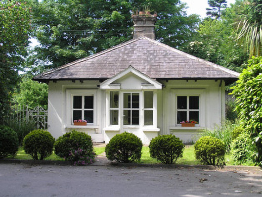 Villiers Schoolgate lodge · 1.0 mi
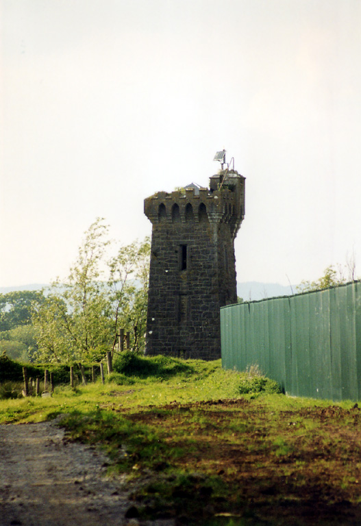 beaconbeacon · 1.1 mi
 Muckinish PointHeadland · 1.6 mi
 Cratloekeel CastleCastle · 2.0 mi
 Sailors HaggardMemorial · 2.4 mi
 Cratloe WoodsForest · 3.5 mi
 Ardnacrusha ToursMuseum · 4.1 mi
 Seán Keating GalleryGallery · 4.1 mi
Other information
Photo: Credit not shown in the picture search · Rights wording not checked; contact us if this picture should be removed