
What is recorded here
At the W end of a glacial ridge on a flood plain 750m E of the River Shannon. A contemporary trackway (LI005-097----) led to the Bronze Age round house (LI005-095002----). Two fulachta fia (LI005-096001/2-) were also excavated within 20m of the house. The house site (LI005-095002-) was located 8m SE of another Bronze Age house (LI005-095001-). The sites were all excavated as part of the Southern Limerick Ring Road, Phase II (Bermingham et. al. 2013).
The house was described as ‘Structure 316’ by Kate Taylor under license E2091. The excavation uncovered the ‘an oval arrangement of fourteen post-holes. The structure measured 8.4m NE/SW x 5.4m NW/SE and had no clear entrance. The post-holes varied in size and shape but none was particularly substantial (average dims. 0.35m W x 0.15m D), the area suffered erosion of the natural gravel. The post-hole fills were sterile, mid-grey brown sandy clays that produced no artefacts or dateable material’ (Taylor & Ruttle 2013, 12). Given the house sites close spatial location adjacent to the trackway (LI005-097----) and the Bronze Age house (LI005-095001-) to the NW, it is considered to be roughly contemporary.
Compiled by: Edmond O’Donovan
Date of upload: 21 July 2020
The monument record does not grant public access. Check the route and ask the landowner before entering private land.
- What survives
- Recorded monument
Places near here
 Coreen Castle (in ruins)Castle, unclassified · 245 yd
 Coonagh NatureNature reserve · 377 yd
 Not shown.Fulacht fia · 435 yd
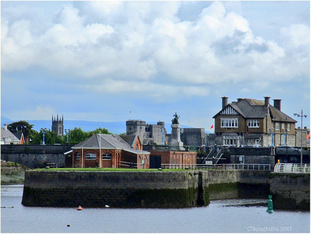 Enclosure in Coonagh EastEnclosure · 801 yd
 RoadRoad, road/trackway · 1540 yd
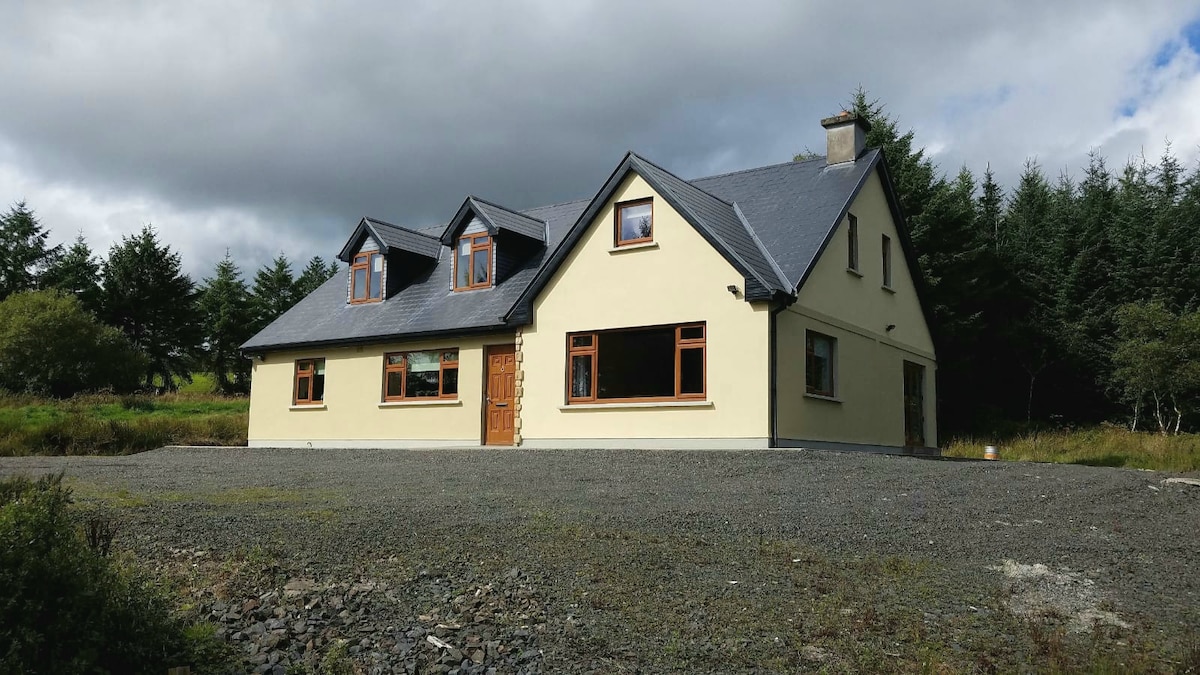 Tervoe HouseRuins · 1.1 mi
 Muckinish PointHeadland · 1.3 mi
 St James's WellSpring · 1.8 mi
 Cratloekeel CastleCastle · 1.9 mi
 Sailors HaggardMemorial · 2.0 mi
 Ardnacrusha ToursMuseum · 4.5 mi
 Seán Keating GalleryGallery · 4.6 mi
Other information
Photo: Credit not shown in the picture search · Rights wording not checked; contact us if this picture should be removed