
What is recorded here
In gently undulating pasture, overlooking the River Shannon, c. 870m to SW. Depicted on the 1841 ed. OS 6-inch map as a circular-shaped univallate ringfort (approx. diam. 34m). Recorded by O’ Donovan in 1841, ‘Cahereen is a circular fort about two chains in diameter, 24ft high composed partly of stones and earth’ (OSNB, 245). Visible as a tree-lined monument on Digital Globe orthophotos taken 2011-13 and Google Earth orthoimage taken 28/06/2018.
See attached Google Earth orthoimage 28/06/2018.
Compiled by: Alison McQueen and Vera Rahilly
Date of upload: 22 June 2020
The monument record does not grant public access. Check the route and ask the landowner before entering private land.
- What survives
- Recorded monument
Places near here
 Coreen Castle (in ruins)Castle, unclassified · 828 yd
 Not shown.Fulacht fia · 839 yd
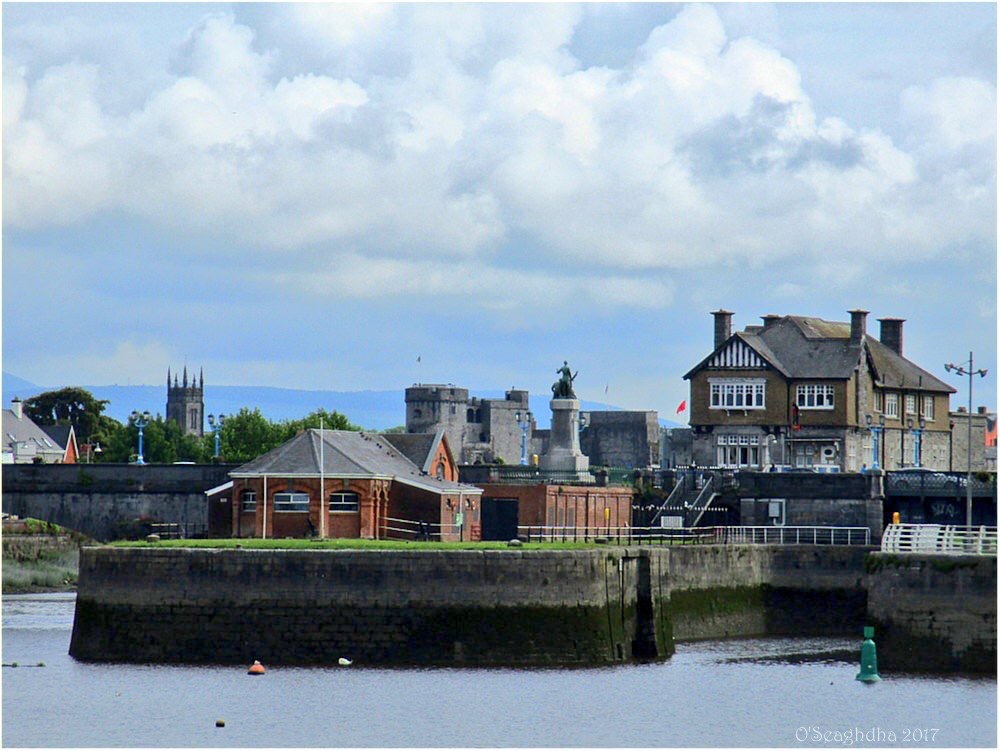 Enclosure in Coonagh EastEnclosure · 864 yd
 Coonagh NatureNature reserve · 1347 yd
 RoadRoad, road/trackway · 1.1 mi
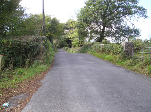 Meelick Bridgebridge · 1.2 mi
 Muckinish PointHeadland · 1.2 mi
 Cratloekeel CastleCastle · 1.6 mi
 St James's WellSpring · 2.1 mi
 Sailors HaggardMemorial · 2.2 mi
 Cratloe WoodsForest · 3.0 mi
 Ardnacrusha ToursMuseum · 4.1 mi
Other information
Photo: Credit not shown in the picture search · Rights wording not checked; contact us if this picture should be removed