What is recorded here
In pasture, c. 105m to E of the R527 public road and c. 120m to NW of Na Piarsaigh GAA Club. Depicted on the revised 1938 ed. OS 25-inch map as a circular-shaped enclosure (approx. diam. 26m). Recorded in the SMR file as a ‘circular platform’ suggesting that it is defined by a scarp. Visible as a partially tree-lined suboval-shaped monument on Digital Globe orthophotos taken 2011-13 and Google Earth orthoimage taken 05/04/2006.
See attached Google Earth orthoimage 05/04/2006.
Compiled by: Alison McQueen and Vera Rahilly
Date of upload: 22 June 2020
The monument record does not grant public access. Check the route and ask the landowner before entering private land.
- What survives
- Recorded monument
Places near here
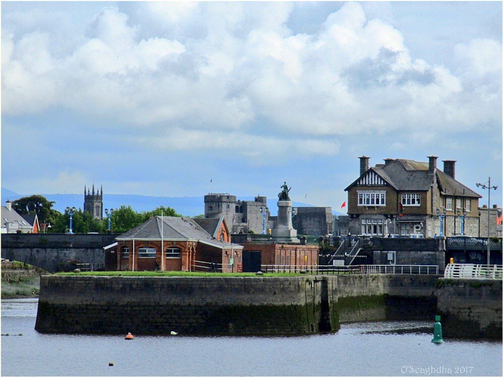 Enclosure in Coonagh EastEnclosure · 1114 yd
 Hachured - IndicatedFairy fort / earthen ringfort · 1329 yd
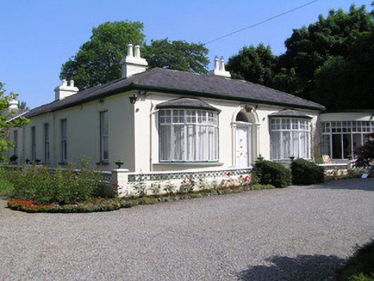 Cragfieldhouse · 1436 yd
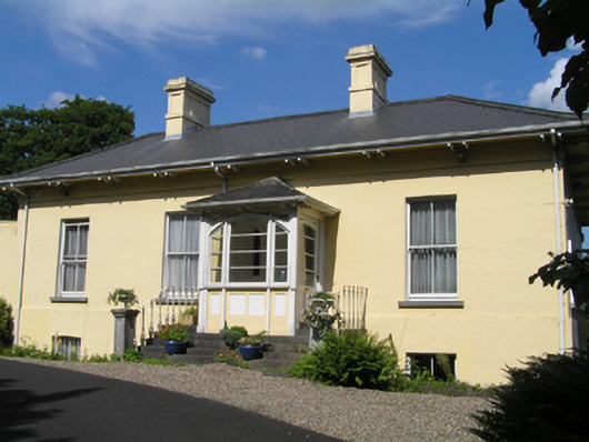 Orelandhouse · 1475 yd
 Coreen Castle (in ruins)Castle, unclassified · 1.0 mi
 Coonagh NatureNature reserve · 1.3 mi
 Site of CastleCastle, unclassified · 1.5 mi
 Limerick Seamen's MemorialMemorial · 1.8 mi
 Saint John Paul IIMemorial · 1.8 mi
 Muckinish PointHeadland · 2.0 mi
 King's IslandIsland · 2.0 mi
 Cratloe WoodsForest · 3.5 mi