What is recorded here
Half a kilometre from the last road, a ring of earth still holds its shape on the drumlin crest. People called it a fairy fort because the boundary refused explanation, but the measured bank and dug ditch suggest human hands shaped the circle before memory faded. The outer edge disappeared around 1990, yet the inner chamber remains wide enough for a household, a herd, or a hundred uncertain purposes.
Located just off the crest of the S-facing slope of a drumlin. This is a grass and scrub-covered circular area (diam. 27.3m NW-SE: int. diam. 24.5m NW-SE) defined by an overgrown earthen bank (Wth 4m; int. H 0.2m at SE to 1.5m at NW; ext. H 2-2.2m) with an external fosse (Wth of top 4.6-5.2m; Wth of base 1.5-2m; D 0.7-0.8m), and traces of an intermittently visible outer bank (Wth 2.5-3.5m) which had been removed c. 1990. The original entrance is not identified.
The above description is derived from 'The Archaeological Inventory of County Leitrim' compiled by Michael J. Moore (Dublin: Stationery Office, 2003). In certain instances the entries have been revised and updated in the light of recent research.
Date of upload: 23 September 2008
The monument record does not grant public access. Check the route and ask the landowner before entering private land.
- What survives
- Recorded monument
Places near here
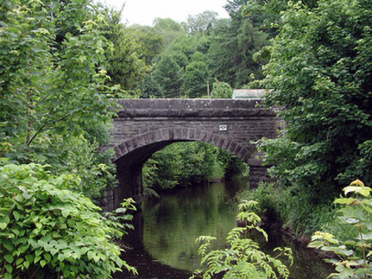 bridgebridge · 965 yd
 John Joe McGirlMonument · 978 yd
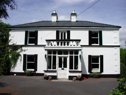 Curranmount Househouse · 984 yd
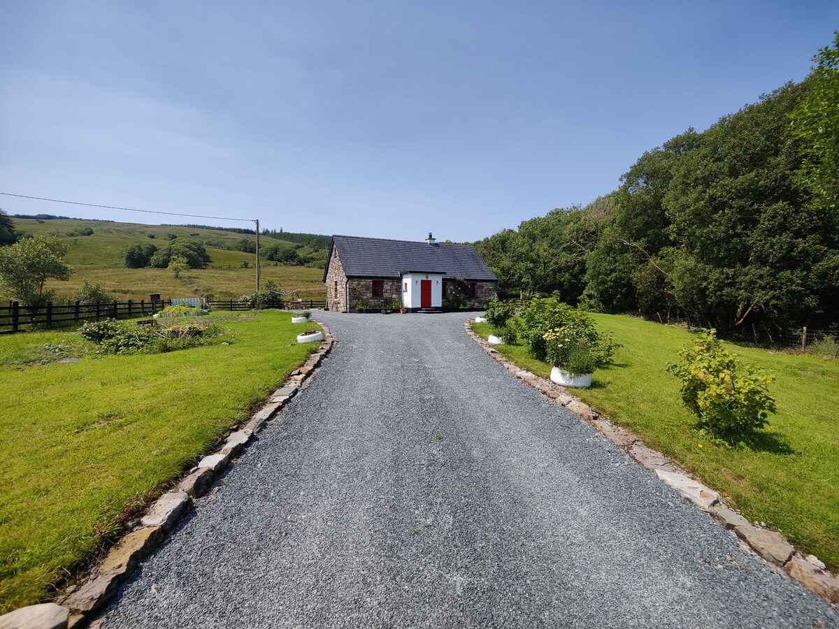 EnclosureFairy fort / earthen ringfort · 1.5 mi
 DrumbadMountain / peak · 2.2 mi
 Buck IslandIsland · 2.6 mi
 Turf IslandIsland · 2.6 mi
 Cromlin Bridge WoodWood · 3.2 mi
 DrumgownaghMountain / peak · 3.3 mi
 CastleCastle, tower house · 3.4 mi
 Swan Island pet farmHeritage attraction · 3.8 mi
 European ashEuropean ash · 3.8 mi