What is recorded here
Fairy fort / earthen ringfort in Kiltykere is a fairy fort or earthen ringfort in Kiltykere, County Sligo, Ireland. It occupies gently undulating pasture on level ground and measures twenty-six metres across. An earth and stone bank four-point-three metres wide and zero-point-four metres high defines the circle, though no ditch remains visible. Two straight drystone field walls now cross the interior and pierce the bank at opposite edges.
Situated in gently undulating pasture on level ground. Raised circular area (diam. 26m) defined by an earth and stone bank (Wth 4.3m; int. H 0.4m). No fosse visible. The bank is best preserved SE-NE. From SW-NW the external base of the bank is roughly revetted with rubble stone. The interior of the site is crossed by two straight drystone field walls; the first is orientated NNW-SSE and crosses the bank at NE and at SE and the second wall links at a right angle to the first at SE and extends across the interior to cross the bank at SW. Original entrance not recognisable.
Compiled by: Patrick F. O'Donovan
Date of upload: 21 April 2011
The monument record does not grant public access. Check the route and ask the landowner before entering private land.
- What survives
- Recorded monument
Places near here
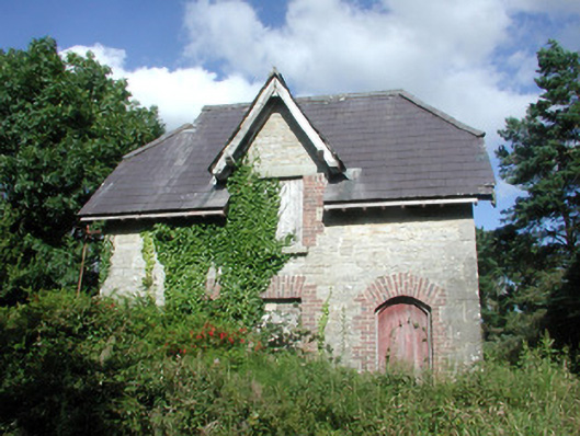 Benbulbin Old Schoolschool master's house · 258 yd
 IndicatedFairy fort / stone ringfort · 647 yd
 Court tomb in GortnaleckCourt tomb · 735 yd
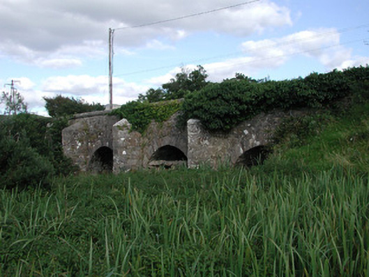 Ardnaglass Bridgebridge · 1210 yd
 CastleCastle, unclassified · 1.4 mi
 BenbulbinMountain / peak · 1.8 mi
 BenbulbenMountain · 1.8 mi
 InishnagorIslet · 1.9 mi
 Atlantic SheepdogsHeritage attraction · 2.2 mi
 Connors IslandIsland · 2.3 mi
 Benwiskin South TopMountain / peak · 2.4 mi
 Dermot & Grania's BedCave · 2.9 mi