What is recorded here
Fairy fort / earthen ringfort in Kiltykere is a fairy fort or earthen ringfort in Kiltykere, County Sligo, Ireland. The raised circular area measures about 32 metres across and sits on a slight south-facing slope in gently undulating pasture. An earthen scarp encloses the site from the northwest to southwest, while a steeper scarp overlooks a public roadway that skirts the southwest and northwest edges. Benbulbin School abuts the external base of the scarped edge at the east, and an east-west drystone bisects the interior.
Situated on a slight S-facing slope in gently undulating pasture. Raised circular area (diam. c.32m) enclosed by an earthen scarp (ext. H 0.7m). No fosse visible. The scarped edge encloses the site NW-SW. The site is defined by a steep scarp (ext H 2-3m) overlooking a public roadway that skirts the site SW-NW. Benbulbin School abuts the external base of the scarped edge at E. An E-W orientated drystone bisects the site. Original entrance not recognisable.
Compiled by: Patrick F. O'Donovan
Date of upload: 21 April 2011
The monument record does not grant public access. Check the route and ask the landowner before entering private land.
- What survives
- Recorded monument
Places near here
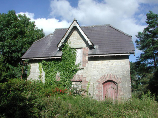 Benbulbin Old Schoolschool master's house · 33 yd
 IndicatedFairy fort / stone ringfort · 449 yd
 Enclosure in GrogaghEnclosure · 652 yd
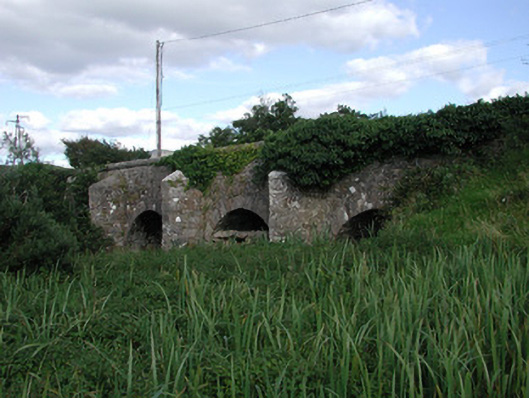 Ardnaglass Bridgebridge · 1065 yd
 CastleCastle, unclassified · 1.3 mi
 BenbulbinMountain / peak · 1.8 mi
 InishnagorIslet · 1.8 mi
 BenbulbenMountain · 1.9 mi
 Atlantic SheepdogsHeritage attraction · 2.0 mi
 Connors IslandIsland · 2.2 mi
 Benbulbin South-East TopMountain / peak · 2.5 mi
 de Cuellar Armada MonumentMemorial · 2.9 mi