What is recorded here
Mortons and others lived beside or within these rings across the medieval era, perhaps claiming the fort or working the land around it. The name Kiltyhugh may preserve a personal identity, though the evidence remains thin. The fort itself still stands as a circular earthwork, marking human presence long before modern records.
Situated on top of a low rise in a valley bottom with small N-S streams c. 80m to the W and c. 70m to the SE. This is an overgrown ircular area (diam. c. 25m) defined by an earthen bank (at N: Wth 5.5m; int. H 0.8m; ext. H 1.7m) and an external fosse (at N: Wth of base 3m; D 0.9m). There is an entrance (Wth 4m) and causeway (Wth 5.5m) at SW.
The above description is derived from 'The Archaeological Inventory of County Leitrim' compiled by Michael J. Moore (Dublin: Stationery Office, 2003). In certain instances the entries have been revised and updated in the light of recent research.
Date of upload: 23 September 2008
The monument record does not grant public access. Check the route and ask the landowner before entering private land.
- What survives
- Recorded monument
Places near here
 IndicatedFairy fort / earthen ringfort · 1078 yd
 St. Bridgets WellHoly well · 1298 yd
 DrumgownaghMountain / peak · 1581 yd
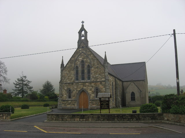 Church in OughteraghChurch · 1.1 mi
 DrumbadMountain / peak · 1.3 mi
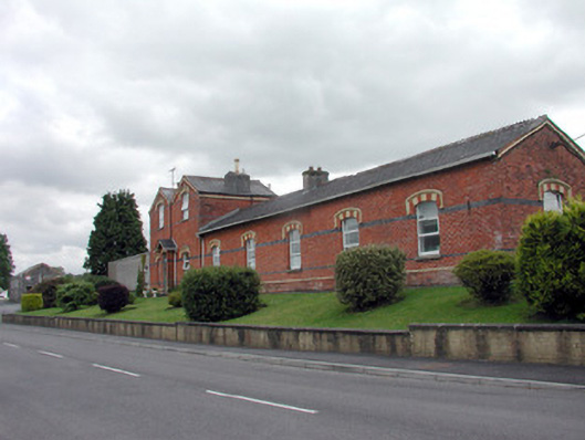 Saint Felim's Collegerailway station · 1.6 mi
 Cromlin Bridge WoodWood · 2.1 mi
 Cornagunleog ForestForest · 3.1 mi
 Turf IslandIsland · 3.8 mi
 Crane IslandIslet · 3.9 mi
 Swan Island pet farmHeritage attraction · 4.1 mi
 Bawn in Cherry IslandBawn · 4.2 mi