What is recorded here
Fairy forts are often called raths, yet local people may have lived inside them long before the name changed. Kiltycreevagh keeps that ambiguity alive: a shallow oval of earth and stone on an open slope, with no visible gate and no certain date. The measured facts leave a hole where human story should be, and the hole is what makes the place memorable.
On a SSW-facing slope in pasture. A raised subcircular area (37.5m N-S; 32.5m E-W) enclosed by a much-denuded, low bank of earth and stone (Wth 3-3.5m; H 0.5-0.65m). A low scarp (H 0.4-0.7m) is evident, c. 8m from the bank, from S-SSW-WSW. A report in 1976 (SMR file) recorded an external fosse that is not visible. The original entrance is not recognisable.
Compiled by: Patrick F. O'Donovan
Date of upload: 16 January 2012
The monument record does not grant public access. Check the route and ask the landowner before entering private land.
- What survives
- Recorded monument
Places near here
 Man-made underground passage in ShanmullaghMan-made underground passage · 970 yd
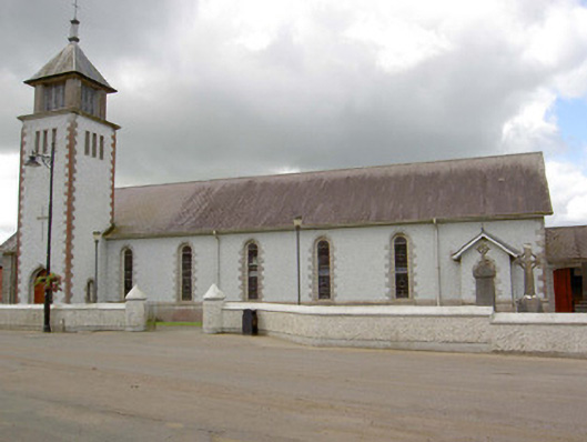 Saint Patrick's Catholic Churchchurch/chapel · 978 yd
 Battle of BallinamuckMajor battlefield · 1011 yd
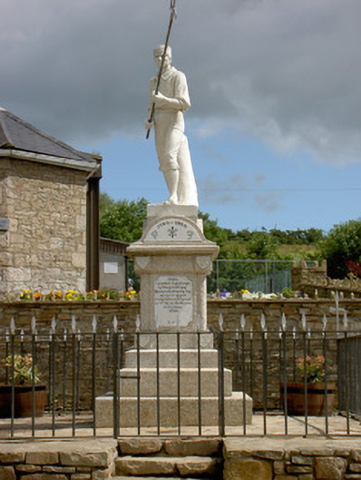 1798 Monumentmonument · 1046 yd
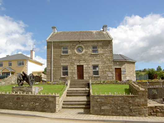 Ballinamuck 1798 Visitor CentreRIC barracks · 1051 yd
 BarrowBarrow, ring-barrow · 1450 yd
 Native Woodland Trust: Farnaght ReserveWood · 2.1 mi
 Ballinamuck Bog LoopWalking route · 2.4 mi
 North Midland Transport CollectionMuseum · 3.2 mi
 OratoryCastle, tower house · 3.9 mi
 Derrinch IslandIslet · 4.6 mi
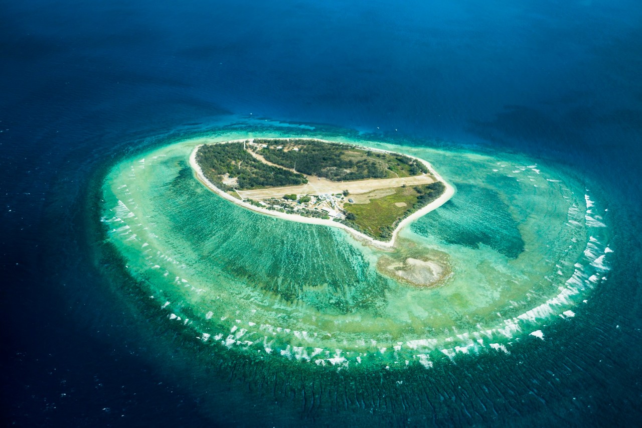 Lady Elizabeth's IslandIslet · 4.9 mi