What is recorded here
On a WNW-facing slope in pasture. Depicted as a large, roughly heart-shaped enclosure with the designation 'Fort' on the 1837 ed. of the OS 6-inch map. This raised roughly oval area (c. 58m N-S; c. 42m E-W) is defined from E-S-WSW by field boundaries, which almost certainly incorporate the circuit of a bank with an external fosse. Elsewhere its outline is indicated by levelled field boundaries. The original entrance is not recognisable. A report in 1990 (SMR file) noted a stony spread in the interior at W. This feature is no longer visible.
Compiled by: Patrick F. O'Donovan
Date of upload: 26 August 2011
The monument record does not grant public access. Check the route and ask the landowner before entering private land.
- What survives
- Recorded monument
Places near here
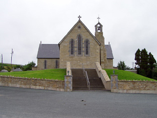 Saint Mary's Catholic Churchchurch/chapel · 1003 yd
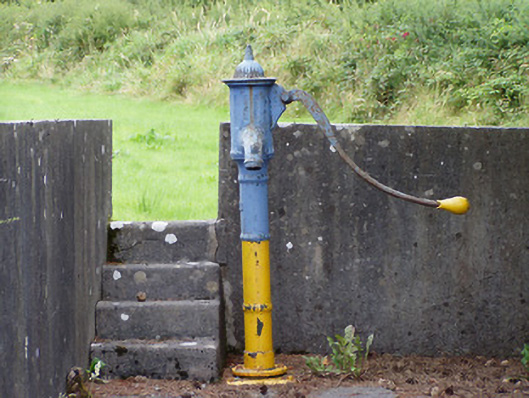 water pumpwater pump · 1133 yd
 Crannog in CorglassCrannog · 1718 yd
 Ritual siteRitual site, holy tree/bush · 1.1 mi
 North Midland Transport CollectionMuseum · 1.6 mi
 Ballinamuck Bog LoopWalking route · 2.6 mi
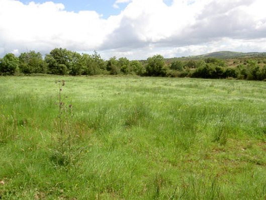 battlefieldbattlefield · 2.6 mi
 Battle of BallinamuckMajor battlefield · 2.7 mi
 CastleBawn · 3.5 mi
 CornaferstMountain / peak · 4.0 mi
 Ticosker WoodWood · 4.3 mi
 Lisraherty Bog WoodlandWood · 4.5 mi