What is recorded here
Located on a slight rise in a fairly level landscape. The cropmark of a large circular enclosure (diam. c. 60m) defined by a single fosse (Wth c. 2-5m) is visible on Google Earth (21/07/2021). A second fosse is attached outside at NE and can be traced NE-E-S, c. 10-20m from the defining fosse and may have formed an annexe. It was first reported by Anthony Murphy.
See the attached enhanced view from Google Earth (21/07/2021)
Compiled by: Michael Moore
Date of upload: 1 September 2021
The monument record does not grant public access. Check the route and ask the landowner before entering private land.
- What survives
- Recorded monument
Places near here
 Enclosure in Colp WestEnclosure · 1587 yd
 BeaubecArchaeological place · 1.0 mi
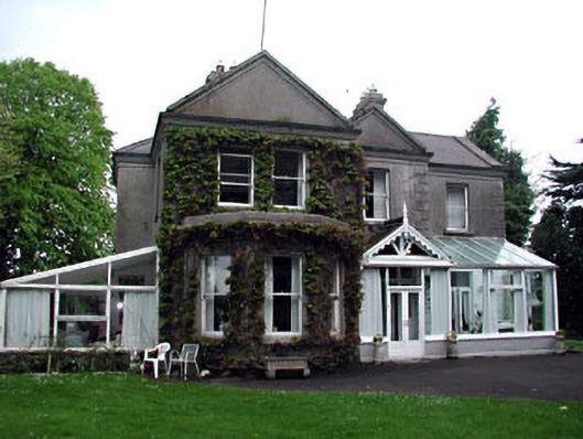 Colpe Househouse · 1.2 mi
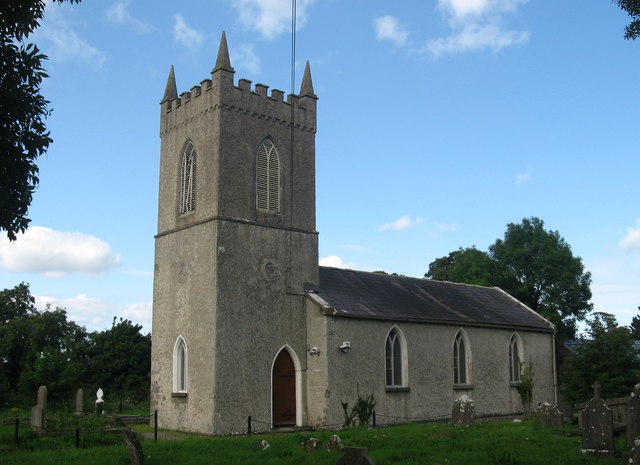 St. Columbas ChurchChurch · 1.2 mi
 Site of Old CastleCastle, unclassified · 1.2 mi
 Millmount MuseumMuseum · 1.7 mi
 Siege of Droghedasiege · 1.8 mi
 The ThoselMemorial · 1.9 mi
 RuinCastle, tower house · 1.9 mi
 Battle of Julianstownbattle · 2.4 mi
 Beaulieu House and GardensHeritage attraction · 2.4 mi
 Newgrange Business ParkMemorial · 2.5 mi