What is recorded here
Situated at a break in a marked NE-facing slope in woodland with a stream immediately S of the site. Circular area (diam. 39m) defined by a substantially levelled bank (max. Wth 9m; H 1m) surviving from SW-NNE with an external fosse all around (Wth 4.5m; D 1.6-1.8m) merging with a berm from NNE-SE-SSW cut into the steep slope on this side. There is a slight outer bank (Wth 2m; H 1m) at the N and SW. Access is by a ramp (Wth 3m) at the SE along the steep scarped face of the site. No indication of internal features.
The above description is derived from the published 'Archaeological Inventory of County Wicklow' (Dublin: Stationery Office, 1997). In certain instances the entries have been revised and updated in the light of recent research.
Date of upload/revision: 17 December 2008
The monument record does not grant public access. Check the route and ask the landowner before entering private land.
- What survives
- Recorded monument
Places near here
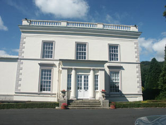 Dunran Castlecountry house · 400 yd
 St. Patricks WellHoly well · 439 yd
 Kiltimon Castlecastle/fortified house · 572 yd
 IndicatedFairy fort / earthen ringfort · 1134 yd
 CastleCastle, ringwork · 1452 yd
 Castle (in Ruins)Castle, ringwork · 1.9 mi
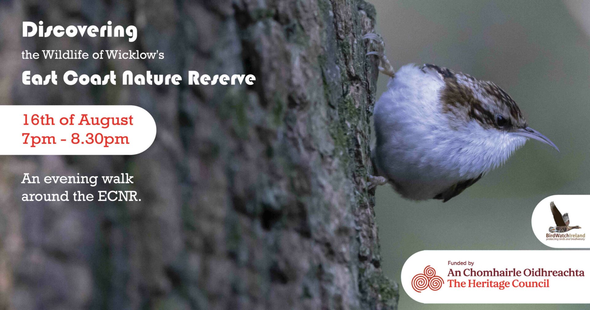 East Coast Nature ReserveNature reserve · 2.6 mi
 Devil's Glen WoodForest · 2.9 mi
 Devil's Glen WaterfallWaterfall · 3.2 mi
 Leamore StrandBeach / strand · 3.4 mi
 Glenroe FarmHeritage attraction · 4.7 mi
 Victor's WayHeritage attraction · 5.4 mi