What is recorded here
Kilscannell is a circular earth-and-stone ringfort, not a fairy fort, though that is the name it has kept. It stands on a gentle rise in marshy pasture, its bank broken at the south where cattle have worn a gap through the ancient edge. The interior is level and half-hidden under bushes, while the outer ditch still marks the boundary between the ordinary field and the place people once shaped with their hands.
On gentle rise, in undulating marshy pasture. Circular area (17.5m N-S; 17.5m E-W) enclosed by earth-and-stone bank (int. H 0.3m; ext. H 0.75m) ESE->WSW, and defined by scarped edge (H 0.5m; Wth 1.5m) WSW->ESE. Gap (Wth 2.5m) in bank at S has been eroded by cattle accessing interior. External fosse (Wth 1.5m; D 0.2m) evident WSW->N. Southern third of level interior covered with bushes and trees, remainder under pasture.
Compiled by: Denis Power
Date of upload: 26 August 2011
The monument record does not grant public access. Check the route and ask the landowner before entering private land.
- What survives
- Recorded monument
Places near here
 Grave YardGraveyard · 520 yd
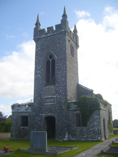 Kilscannell Churchchurch/chapel · 530 yd
 Elm Hillcountry house · 784 yd
 BarrowBarrow, ring-barrow · 1306 yd
 St. Kieran's WellSpring · 1327 yd
 St. Luke's WellSpring · 1.5 mi
 CahermoyleCastle, unclassified · 1.7 mi
 Bawn in Lisnacullia (connello Lower By.)Bawn · 1.8 mi
 European ashEuropean ash · 2.6 mi
 Limerick GreenwayWalking route · 6.4 mi
 Sugar HillMountain / peak · 8.0 mi
 Gammarel PointHeadland · 8.8 mi