What is recorded here
Kilscannell is a circular earthen fort where a 1985 machine cut through ancient soil before anyone remembered the shape. Cattle still walk the drowned ditch while overgrowth smothers the bank, turning human making into a ordinary field edge. The fort has become a story about forgetting, not a warning about loss.
On slight rise, in gently undulating pasture. Circular area (35m N-S; 33.5m E-W) enclosed by earthen bank (int. H 0.15m; ext. H 1.45m) with external fosse (Wth 2m; D 0.65m) WNW->E, and defined by scarped edge (H 0.8m; Wth 8m) E->WNW. Bank is covered by dense overgrowth and organic debris has been dumped against its outer face. Fosse is heavily poached by cattle. Field boundary overlies bank WNW->E. Interior, under pasture, slopes gently down to SE. According to report (McMahon & Rynne) bank levelled E->WNW to present condition by mechanical excavator in 1985.
Compiled by: Denis Power
Date of upload: 26 August 2011
The monument record does not grant public access. Check the route and ask the landowner before entering private land.
- What survives
- Recorded monument
Places near here
 Elm Hillcountry house · 381 yd
 Grave YardGraveyard · 940 yd
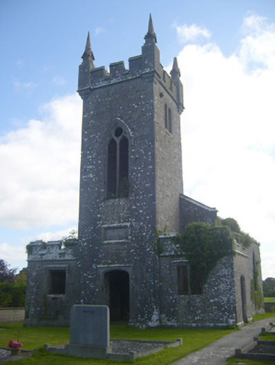 Kilscannell Churchchurch/chapel · 950 yd
 BarrowBarrow, ring-barrow · 1457 yd
 St. Kieran's WellSpring · 1708 yd
 St. Luke's WellSpring · 1.3 mi
 CahermoyleCastle, unclassified · 1.5 mi
 Bawn in Lisnacullia (connello Lower By.)Bawn · 2.0 mi
 European ashEuropean ash · 2.7 mi
 Limerick GreenwayWalking route · 6.1 mi
 Sugar HillMountain / peak · 7.7 mi
 Gammarel PointHeadland · 8.8 mi