What is recorded here
Kilsaran holds a forty-four metre earthen ring where human hands built a boundary that time has half-erased. The bank still rises beside a shallow ditch, but its south and west edges have worn flat, hiding the entrance and inviting guesses about who lived inside. It is the kind of place that does not explain itself; it waits for someone to walk its circle and ask what it kept safe.
Raised circular area (int. diam. 43.7m) enclosed by a substantial earthen bank denuded almost to the level of the interior from S-SW-W. Bank is surrounded by a fosse accompanied by external modern trenches. Original entrance not recognisable.
The above description is derived from the published 'Archaeological Inventory of County Cavan' (Dublin: Stationery Office, 1995). In certain instances the entries have been revised and updated in the light of recent research.
Date of upload/revision: 22 December 2008
The monument record does not grant public access. Check the route and ask the landowner before entering private land.
- What survives
- Recorded monument
Places near here
 Enclosure in KillycatronEnclosure · 907 yd
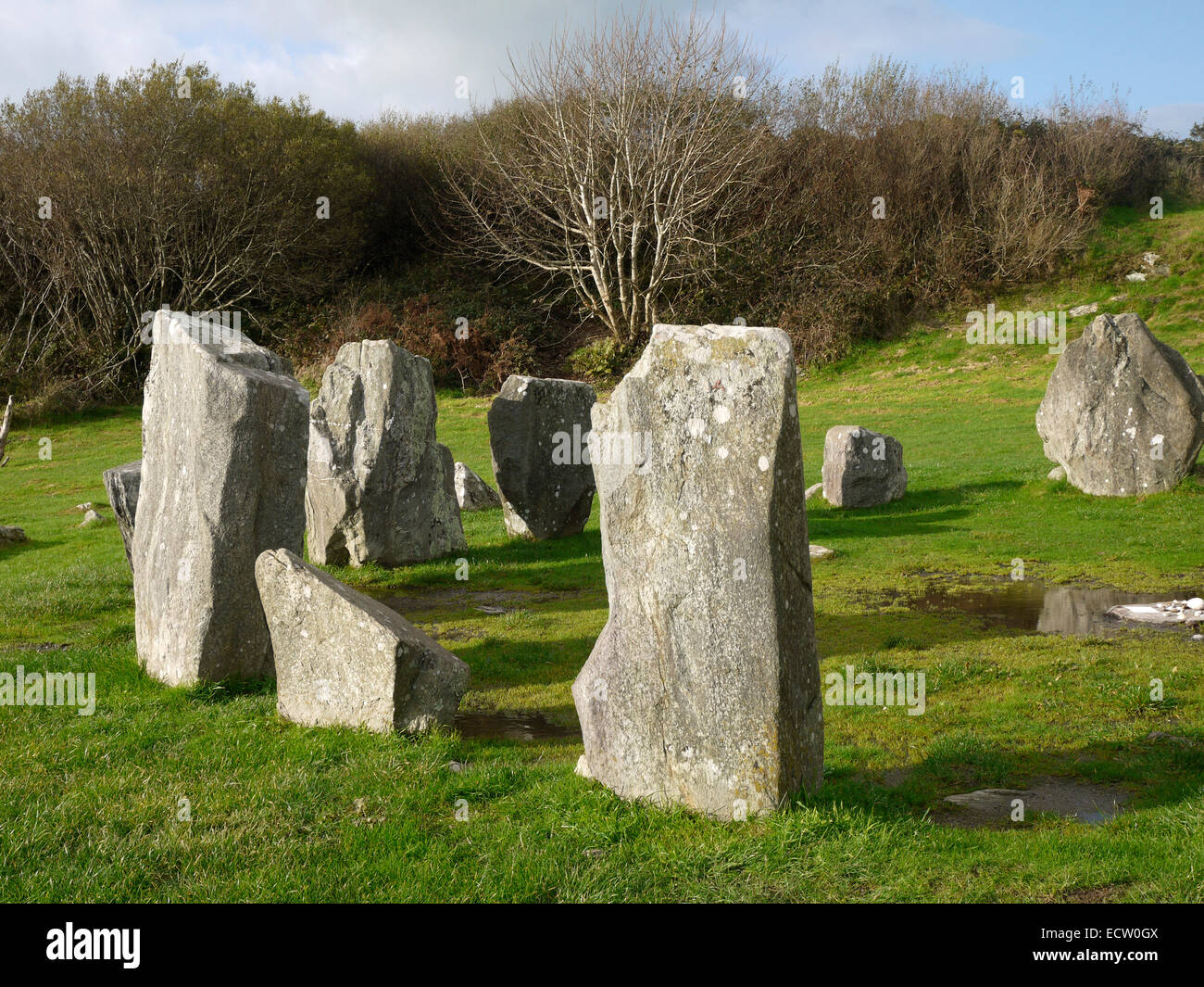 Druid's AltarArchaeological place · 1334 yd
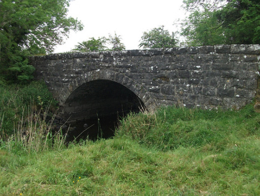 Kilsaran Bridgebridge · 1342 yd
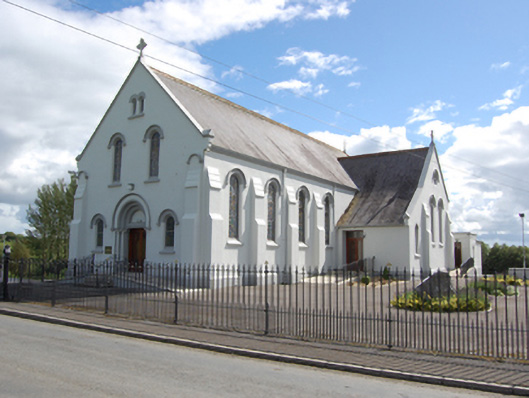 St Joseph’s Roman Catholic Churchchurch/chapel · 1527 yd
 DrumhawnaghMountain / peak · 1529 yd
 Carnagh LowerMountain / peak · 1534 yd
 Cornamucklagh WoodlandWood · 1.7 mi
 Scrabby IslandIslet · 2.2 mi
 Pottle WoodlandWood · 2.5 mi
 Cloone Ho.Castle, unclassified · 2.5 mi
 IdicatedCastle, unclassified · 2.9 mi
 Red IslandIslet · 3.1 mi