What is recorded here
Fairy fort / earthen ringfort in Kilross (Clonbeg parish) is a fairy fort or earthen ringfort in Kilross (Clonbeg parish), County Tipperary, Ireland. The circular area is about 30 metres across on a south-east-facing slope above a valley. Two earthen banks surround the interior, measuring 7.6 and 6.25 metres wide, with a shallow ditch between them where vegetation does not hide it.
In pasture, on a SE-facing slope, falling to valley below. Circular area (map diam. c. 30m) defined by bank (Wth 7.6m; int. H 0.4m; ext. H 1.9m) which is best preserved SE-SSW and bank (Wth 6.25m; int. H 0.7m; ext. H 1.7m) well preserved NW-ENE. Bank is reduced to scarp at SSW and NW where it is eroded by livestock. Fosse (Wth 5.7-7.3; D 0.15-0.25m) is visible SE-W and NW-ENE and is otherwise obscured by dense vegetation. Fosse is backfilled with slippage from bank at SE. Interior not accessible and is obscured by impenetrable overgrowth. Enclosing elements obscured by same ENE-SE and SSW-NW.
Compiled by: Jean Farrelly
Date of upload: 26 August 2011
The monument record does not grant public access. Check the route and ask the landowner before entering private land.
- What survives
- Recorded monument
Places near here
 Enclosure in Kilross (clonbeg Par.)Enclosure · 788 yd
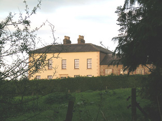 Ballywire Househouse · 1079 yd
 BarrowBarrow, unclassified · 1.0 mi
 Aughaclareen Bridgebridge · 1.3 mi
 Duntryleague HillMountain / peak · 2.0 mi
 Darby's Bed Walk LoopWalking route · 2.0 mi
 Carn (site of)Cairn, burial cairn · 2.2 mi
 CastleCastle, ringwork · 2.3 mi
 SlievenamuckMountain / peak · 2.5 mi
 MoatCastle, motte · 2.7 mi
 Bansha ForestForest · 3.8 mi
 Saint Patrick's WellSpring · 4.0 mi