What is recorded here
Kilquain holds a broken earthen ring on a marshy hummock, its bank breached by gaps that admit rain and grass. The fort measures thirty to thirty-four metres across, small enough for a handful of people yet large enough to exclude everyone else. It may have been a home, a refuge or a boundary marker before the land changed around it. What remains is a suggestion of shape, not a wall of certainty.
On a hummock in marshy grassland, formerly part of Kilquain Demesne. Very poorly preserved subcircular enclosure (34m E-W; 30m N-S) defined by an earthen bank which is breached by numerous gaps.
Compiled by: Galway Archaeological Survey, UCG
Date of upload: 10 April 2019
The monument record does not grant public access. Check the route and ask the landowner before entering private land.
- What survives
- Recorded monument
Places near here
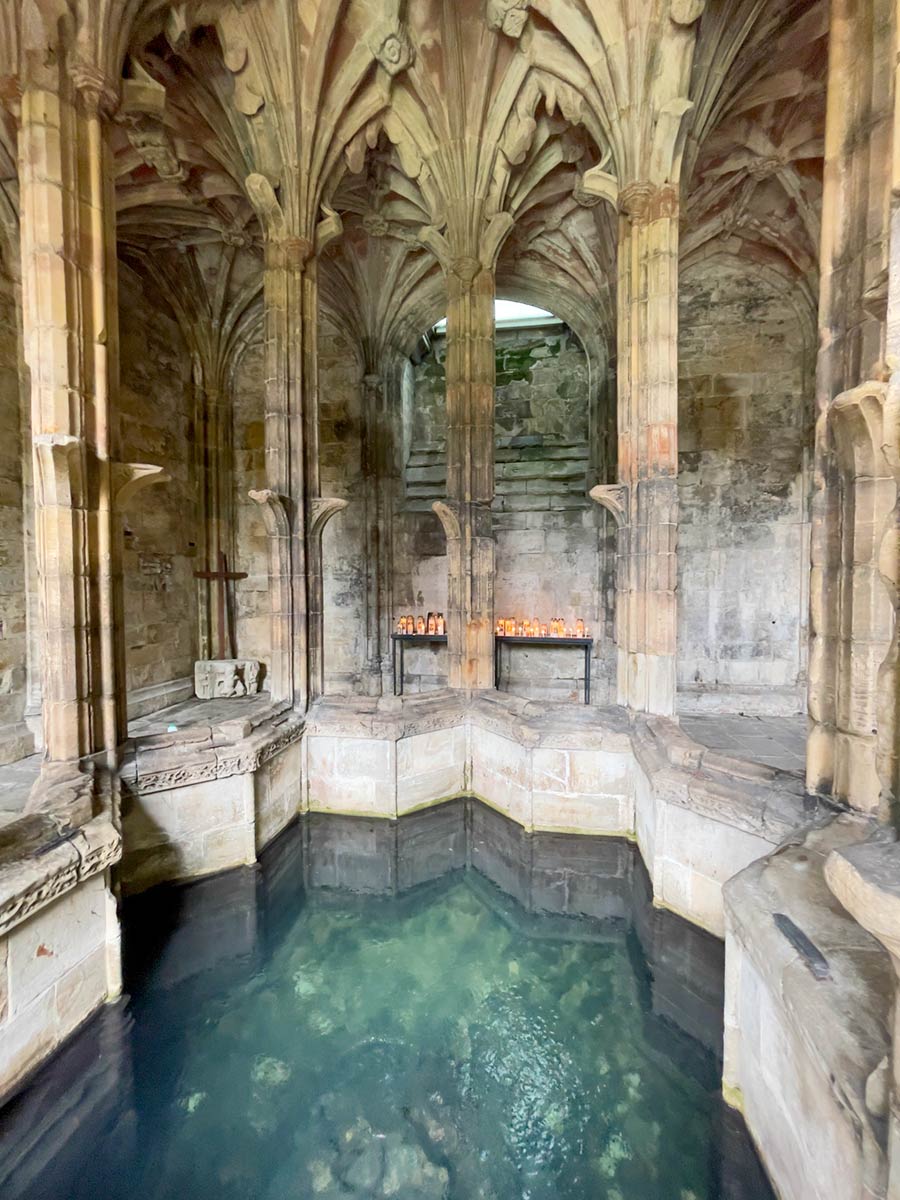 Ecclesiastical enclosure in StowlinEcclesiastical enclosure · 597 yd
 St Patricks WellHoly well · 650 yd
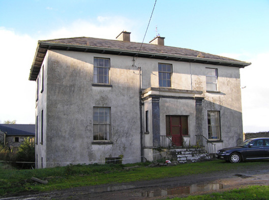 Stowlin Househouse · 1112 yd
 shrine/oratory/grottoshrine/oratory/grotto · 1400 yd
 Longford Castle (in ruins)Castle, unclassified · 1.9 mi
 Derryhiveny CastleCastle · 3.5 mi
 Ballymacegan IslandIsland · 3.8 mi
 Long IslandIsland · 4.0 mi
 Silver FirSilver Fir · 4.2 mi
 Church HillMountain / peak · 4.5 mi
 Redmond HillMountain / peak · 4.6 mi
 European ashEuropean ash · 6.7 mi