What is recorded here
Kilquain holds a subcircular earthen ringfort thirty-three metres across, reduced by centuries of ploughing to a shallow scarp barely eighty centimetres high. The western bank still stands slightly prouder than the rest, marking the only part the fields did not swallow. cattle graze inside the faint line today, unaware they walk within a fort old enough to have watched the pasture itself become pasture.
In level pastureland. Classified by McCaffrey (1952, 233, no. 38a) as a circular ‘Earthen fort’ (diam. c. 39m) defined by a bank, which apart from a section at W, had been almost completely levelled. It is now defined by a scarp (H 0.7-0.8m) and is subcircular in plan (33m N-S; 31m E-W). Its outline is clearly visible on the OSi digitalglobe aerial photography.
Compiled by: Galway Archaeological Survey, UCG
Date of upload: 2 April 2019
The monument record does not grant public access. Check the route and ask the landowner before entering private land.
- What survives
- Recorded monument
Places near here
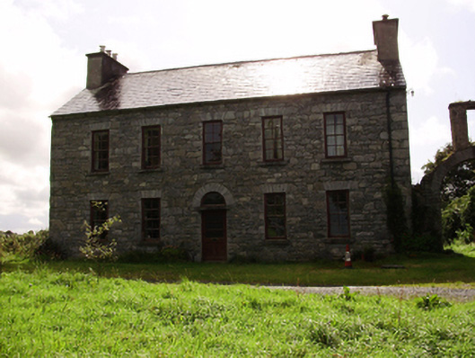 Kilquain Househouse · 243 yd
 Cist GraveHouse, indeterminate date · 903 yd
 CarnanthomasCastle, unclassified · 908 yd
 Ballymanagh Ho.House, 18th/19th century · 927 yd
 Enclosure in Ballylin WestEnclosure · 989 yd
 Roo Castle (in ruins)Castle, tower house · 1.1 mi
 Moyard WoodWood · 4.2 mi
 Kilcornan ForestWood · 5.8 mi
 Drumharsna CastleHeritage attraction · 6.4 mi
 MweenisharanIslet · 8.9 mi
 CaveMan-made underground passage · 1022 yd
 Fairy fort / stone ringfort in Roo (dunkellin By.)Fairy fort / stone ringfort · 1054 yd