What is recorded here
Situated on steep NE facing slope of a prominent ridge in undulating countryside. Motte (WM008-080---) 200m to NE. A sub-circular shaped area (approx. diam. 30m N-S; 33m E-W) enclosed by a substantial earthen bank. The bank has a modern disturbance gap at N, and an entrance gap (Wth 4m) at ENE. The interior slopes from NW-SE. In the S quadrant of the interior, adjoining the inner face of the bank is a steep flat-topped sub-triangular shaped earthen platform.
See attached section of monument surveyed and drawn by the ASI.
Compiled by: Frank Coyne and Caimin O'Brien
Date of upload: 24 April 2017
The monument record does not grant public access. Check the route and ask the landowner before entering private land.
- What survives
- Recorded monument
Places near here
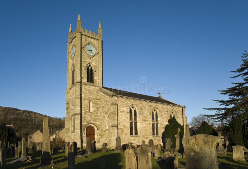 Church in Kilpatrick (fore By.)Church · 1048 yd
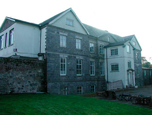 Barbavilla Housecountry house · 1374 yd
 Enclosure in DerrynagarraghEnclosure · 1.3 mi
 HachruedFairy fort / earthen ringfort · 1.5 mi
 Taghmon CastleCastle, tower house · 2.4 mi
 Castle IslandIslet · 2.4 mi
 Site of Fennor CastleCastle, tower house · 2.8 mi
 KnockeyonMountain / peak · 3.0 mi
 The FurzeForest · 3.6 mi
 South East GateHeritage attraction · 3.8 mi
 St Feichin's MillHeritage attraction · 4.0 mi
 Ben of ForeMountain / peak · 4.1 mi