What is recorded here
Situated on grassland with Lough Owel 200m to SW. Kilpatrick Well (WM011-074----) 280m to NE. A raised circular-shaped area (approx. diam. 35m E-W) defined by a scarp with no trace of a bank or external fosse. The interior slopes from ENE-WSW, and there are vague traces of cultivation ridges, also running ENE-WSW across the interior. In the E quadrant of the interior a small mound of earth and stones is visible, possibly a hut site (WM011-072001-). In the S quadrant a curving bank of earth and stone may represent the remains of a second hut site (WM011-072002-).
Compiled by: Frank Coyne and Caimin O'Brien
Date of upload: 24 August 2017
The monument record does not grant public access. Check the route and ask the landowner before entering private land.
- What survives
- Recorded monument
Places near here
 Kilpatrick WellHoly well · 326 yd
 Partially hachuredFairy fort / earthen ringfort · 662 yd
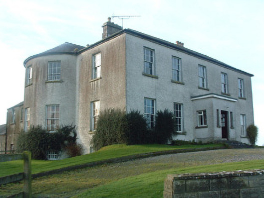 Mount Murray Housecountry house · 867 yd
 Clonhugh Housecountry house · 873 yd
 IndicatedBawn · 1.4 mi
 Castle Quarter, Castle (in ruins)Castle, unclassified · 1.5 mi
 Carrickphilbin IslandIslet · 2.2 mi
 Bridge Memorial (Kenna)Memorial · 2.3 mi
 Srudarra IslandIslet · 2.8 mi
 Baronstown ForestWood · 3.9 mi
 Horse-chestnutHorse-chestnut · 4.0 mi
 WestmeathVisitor information · 4.8 mi