What is recorded here
Kilpadder South once held a thirty-five-yard earthen ringfort on J. Healy's land, but human hands or time have since levelled it into memory. The exact spot has slipped from local knowledge, leaving behind only a faint circular shadow in the field. What remains is a vanished boundary, a small fort reduced to suggestion, where the earth keeps its shape no longer but the story still turns in the dark.
Bowman (1934, 559) recorded levelled single-ramparted fort (diam. c. 35yd) on J. Healy's land. Exact location not known.
The above description is derived from the published 'Archaeological Inventory of County Cork. Volume 4: North Cork' (Dublin: Stationery Office, 2000). In certain instances the entries have been revised and updated in the light of recent research.
Date of upload/revision: 14 January 2009
The monument record does not grant public access. Check the route and ask the landowner before entering private land.
- What survives
- Recorded monument
Places near here
 Church (Site of)Church · 1016 yd
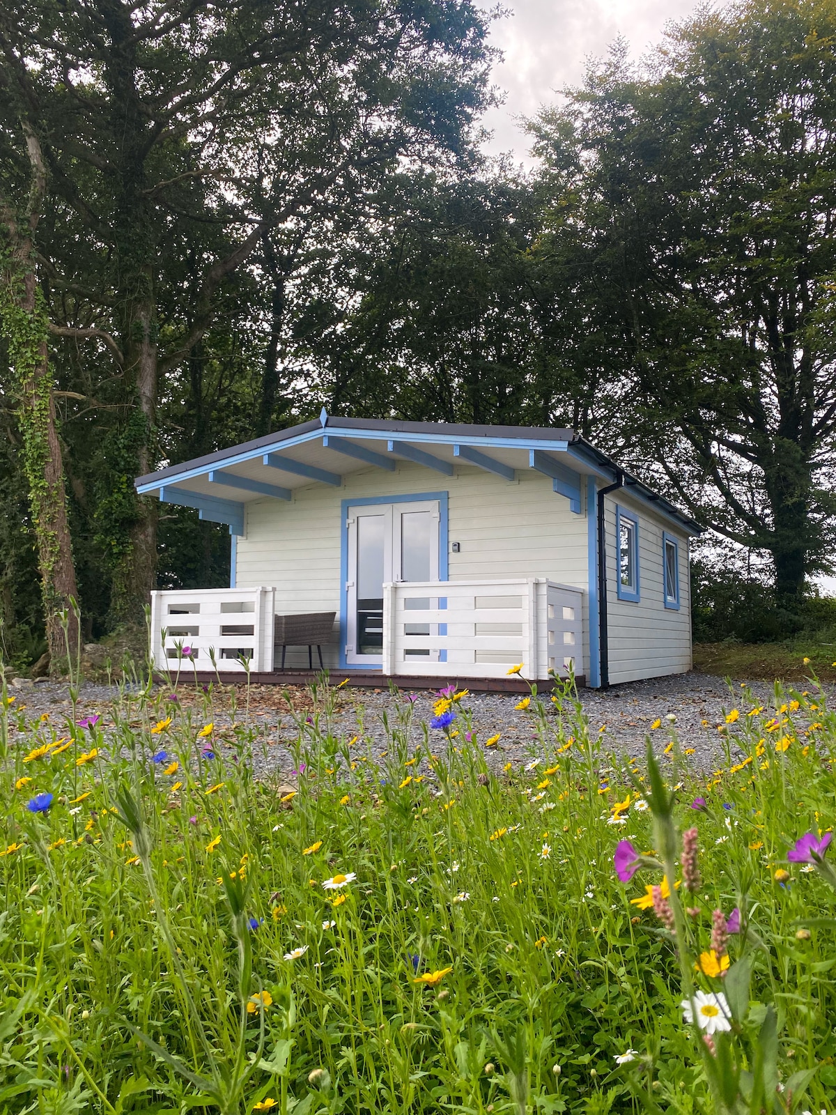 Kilcolman WellHoly well · 1162 yd
 Kilcolman Lodgehouse · 1217 yd
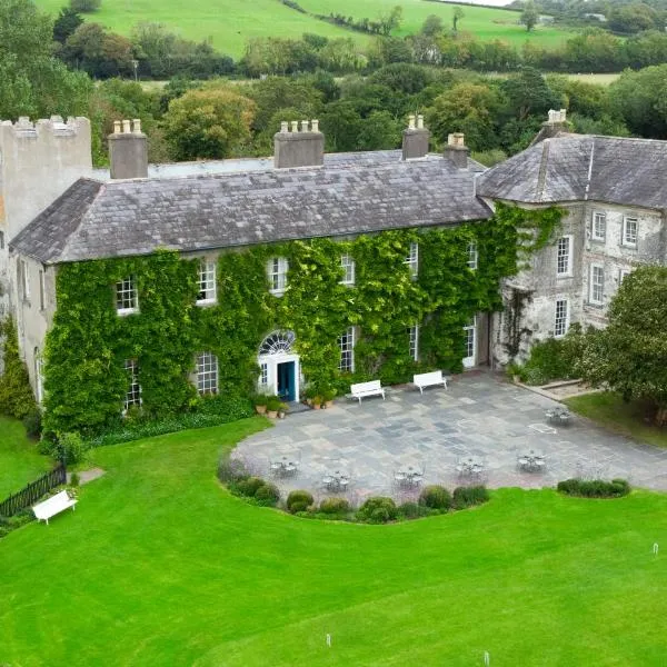 BoherbrádaghRoad, road/trackway · 1740 yd
 Castle Barrett (in Ruins)Castle, Anglo-Norman masonry castle · 2.6 mi
 Castle BarrettCastle · 2.6 mi
 Dromaneen CastleHeritage attraction · 2.8 mi
 In loving memory of Elvis O'DonoghueMemorial · 3.4 mi
 Bweeng LittleMountain / peak · 3.8 mi
 Lyradane MountainMountain / peak · 4.9 mi
 Knockduff Wind FarmVisitor information · 6.0 mi
 Mount Hillary - Knightfield LoopWalking route · 6.7 mi