What is recorded here
Kilnaleck is a broad oval of raised earth, sixty-nine metres long, where a deep fosse and low bank still mark the boundary of a forgotten home. Cattle walk the rim today, unaware they graze the edge of a fort old enough to have lost its name. The entrance may have faced north-northwest, a narrow gap now swallowed by field walls, but the shape remains clear: a place set apart, defended, and occupied by lives no longer spoken of.
Raised oval area (int. dims. 69m NW-SE; 53.4m NE-SW) enclosed by a low earthen bank and a wide, deep fosse both of which have been modified and incorporated into the field boundary. An earlier report (OPW 1968) suggested that the original entrance may have been at NNW.
The above description is derived from the published 'Archaeological Inventory of County Cavan' (Dublin: Stationery Office, 1995). In certain instances the entries have been revised and updated in the light of recent research.
Date of upload/revision: 22 December 2008
The monument record does not grant public access. Check the route and ask the landowner before entering private land.
- What survives
- Recorded monument
Places near here
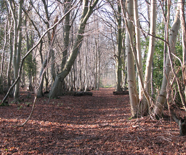 Kilnaglare Lower WoodForest · 444 yd
 Annagh Lough BeachBeach / strand · 651 yd
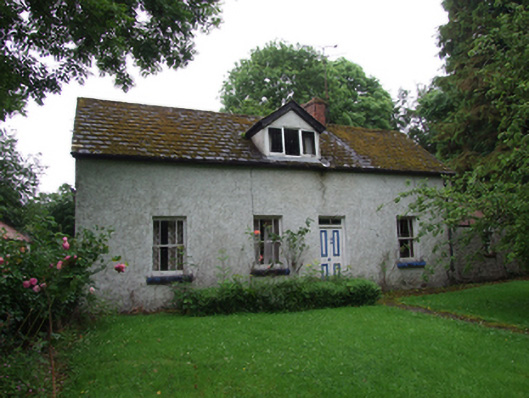 farm housefarm house · 938 yd
 Church (in Ruins)Church · 997 yd
 Nahillah ParkWood · 1231 yd
 DrumcalpinMountain / peak · 1502 yd
 IndicatedFairy fort / stone ringfort · 1711 yd
 Giants GraveArchaeological place · 1.3 mi
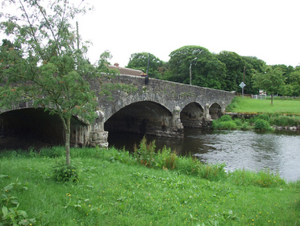 Derrygarra UpperMountain / peak · 1.6 mi
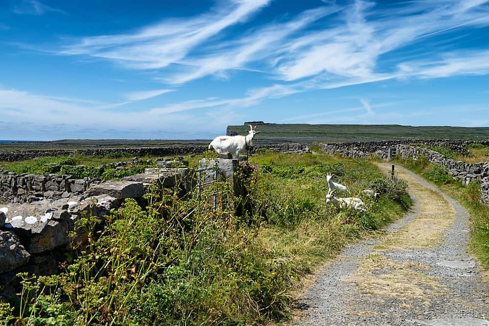 Granshagh or Riverview Fort (Site of)Enclosure · 1.7 mi
 InishmuckIsland · 2.6 mi
 CastleCastle, unclassified · 2.6 mi