What is recorded here
Fairy fort / earthen ringfort in Kilnacranfy stands at the NW end of a NW-SE drumlin ridge in County Monaghan, Ireland. A circular grass-covered area thirty-six metres wide holds an earthen bank five to six metres thick, rising nearly three metres on the outside before merging into a field bank. The lost entrance and faint outer ditch suggest a place shaped for exclusion as much as shelter, where ordinary animals might still avoid the ridge at night.
Situated at the NW end of a NW-SE drumlin ridge. This is a circular grass-covered area (diam. 36m NW-SE; 36m NE-SW) defined by an earthen bank (Wth 5-6m; int. H 0.4m normally to 0.9m SE-S; ext. H 1.6-1.7m normally to 2.6m at NE) with some bushes, which is incorporated into a field bank SSE-WSW. Traces of an outer fosse are visible ESE-S and W-NNE, but the original entrance is not identified.
The above description is derived from the published 'Archaeological Inventory of County Monaghan' (Dublin: Stationery Office, 1986). In certain instances the entries have been revised and updated in the light of recent research.
Date of revision: 6 December 2017
The monument record does not grant public access. Check the route and ask the landowner before entering private land.
- What survives
- Recorded monument
Places near here
 Enclosure in Lisnamoyle EtraEnclosure · 921 yd
 Mass-rock in Lisnamoyle OtraMass-rock · 1280 yd
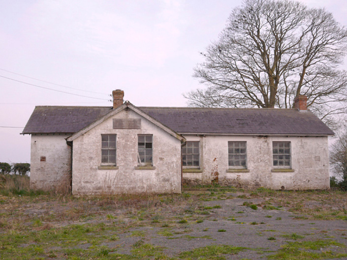 Scoil Náisiúnta Chorr Fuinnseogachschool · 1.0 mi
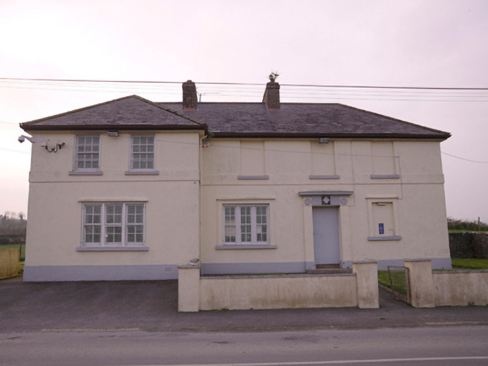 Corrinshigagh Garda Síochána Stationgarda station/constabulary barracks · 1.1 mi
 KnockreaghMountain / peak · 1.6 mi
 Mannan Castle (in ruins)Castle, Anglo-Norman masonry castle · 2.4 mi
 TobernagalliaghSpring · 2.6 mi
 Fincarn HillMountain / peak · 3.6 mi
 Whites IslandIslet · 4.2 mi
 Battle of Newry Roadbattle · 4.5 mi
 The Black Castle Chambered GraveArchaeological place · 4.8 mi
 MEDIEVAL & POST-MED. CHURCH & GRAVEYARD in Creggan Bane GlebeMEDIEVAL & POST-MED. CHURCH & GRAVEYARD · 4.9 mi