What is recorded here
Three concentric earthen banks still circle a 36.5-metre area in Kilmore pasture, though conifers and undergrowth have swallowed the centre. The outer rings fade except from the northwest toward the south, leaving a broad southeast gap and a narrower northern breach. People may have lived inside, resisted there, or abandoned it before the trees closed over the doors.
In undulating pasture, at foot of S-facing slope. Circular area (36.5m N-S) enclosed by three concentric earthen banks (Bank 1: int. H 0.4m; ext. H 1m; Bank 2: int. H 0.7m; ext. H 1m; Bank 3: int. H 0.5m; ext. H 1.2m) with intervening fosses and external fosse (D 0.9m; Wth 1.2m). Two outermost banks only evident NW->S. Entrance through banks (Wth 4.5m) at SSE; narrow gap through banks at N. Interior covered by coniferous trees and dense undergrowth.
Compiled by: Denis Power
Date of upload: 26 August 2011
The monument record does not grant public access. Check the route and ask the landowner before entering private land.
- What survives
- Recorded monument
Places near here
 Enclosure in CoolrusEnclosure · 697 yd
 Burial GroundGraveyard · 761 yd
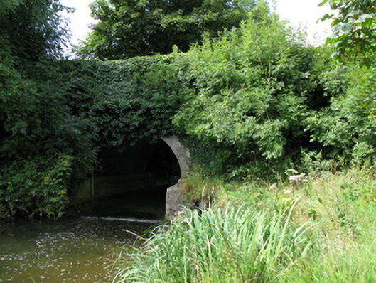 bridgebridge · 1121 yd
 Kilmore Housecountry house · 1183 yd
 Castle (in ruins)Castle, unclassified · 2.0 mi
 KnockfeerinaMountain / peak · 3.1 mi
 Kilmacow Ho.Bawn · 3.2 mi
 Famine stoneMemorial · 3.7 mi
 Saint Derivla's WellSpring · 3.9 mi
 Kinnoor WellSpring · 4.0 mi
 European ashEuropean ash · 4.1 mi
 Dysert AenghusaHeritage attraction · 4.5 mi