What is recorded here
Kilmore is called a fairy fort because people believed the fairies lived there when the forts were new. It stood in open pasture as a circular earth wall about thirty metres across, large enough to hold a small household or a defensive position. A bulldozer removed the wall and left only an uneven patch of ground behind. The fairies may have left before the machine arrived, or they may have watched the wall disappear and refused to explain themselves.
In pasture. Monument, depicted as embanked circular enclosure (diam. c. 30m) on 1923 OS 6-inch map, has been levelled. According to local information enclosure recently levelled by bulldozer and surface of area around site is noticabally uneven but no trace of enclosure is now evident.
Compiled by: Denis Power
Date of upload: 26 August 2011
The monument record does not grant public access. Check the route and ask the landowner before entering private land.
- What survives
- Recorded monument
Places near here
 Enclosure in KingslandEnclosure · 440 yd
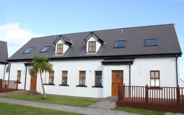 Enclosure in KilmoreEnclosure · 834 yd
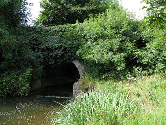 bridgebridge · 1304 yd
 Kilmore Housecountry house · 1592 yd
 Castle (in ruins)Castle, unclassified · 1.5 mi
 Athlacca Ho. (in ruins)Castle, unclassified · 2.8 mi
 European ashEuropean ash · 3.4 mi
 KnockfeerinaMountain / peak · 3.7 mi
 Biodiversity in the Maigue CatchmentVisitor information · 3.9 mi
 Kinnoor WellSpring · 4.0 mi
 Dysert AenghusaHeritage attraction · 4.1 mi
 Famine stoneMemorial · 4.3 mi