What is recorded here
Fairy forts are not fairy forts at all. They are human ringforts, misnamed later. In Kilmore, a grass-covered circle twenty-four metres wide still holds its shape on an undulating landscape. The earthen bank reaches nearly three metres across at the west, though no entrance or ditch remains visible. People lived there, died there, and forgot the names of every door.
Situated on an undulating landscape. Grass-covered circular area (int. diam. 24m E-W) defined by an earthen bank with some bushes which is best preserved at W (Wth 2.9m; int. H 0.4m; ext. H 0.8m). There is no visible fosse or identifiable original entrance.
The above description is derived from 'The Archaeological Inventory of County Leitrim' compiled by Michael J. Moore (Dublin: Stationery Office, 2003). In certain instances the entries have been revised and updated in the light of recent research.
Date of upload: 23 September 2008
The monument record does not grant public access. Check the route and ask the landowner before entering private land.
- What survives
- Recorded monument
Places near here
 FprtFairy fort / stone ringfort · 461 yd
 IndicatedFairy fort / stone ringfort · 539 yd
 Parke's CastleHeritage attraction · 877 yd
 CastleCastle, tower house · 880 yd
 Cullentra ForestForest · 1.5 mi
 Trawane BayBay · 1.7 mi
 InnisfreeIslet · 1.8 mi
 Doonbran Isd.Bawn · 1.9 mi
 Toberconnell BayBay · 2.1 mi
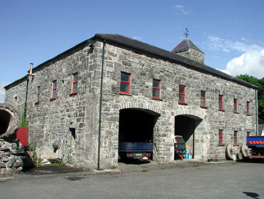 mill (water)mill (water) · 2.2 mi
 St. Connells IslandIslet · 2.2 mi
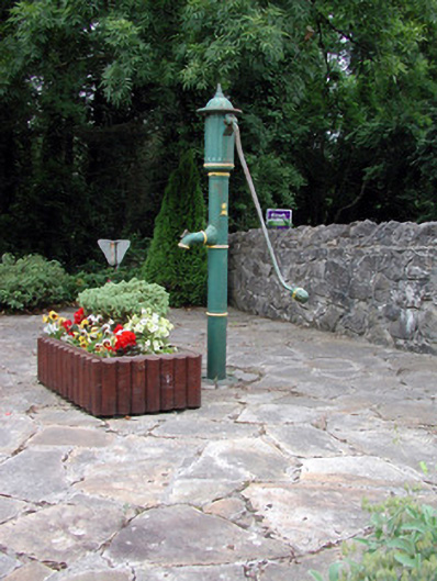 water pumpwater pump · 2.2 mi