What is recorded here
Kilmona held a forty-metre earthen ring on a north-facing slope, marked clearly on maps from 1842 to 1938. Local information says men levelled the fort around 1974, erasing the ridge that had stood since before drawing. Soil marks still shadow the tillage, preserving the shape of what the community chose to forget.
In tillage, on N-facing slope. Depicted as hachured circular enclosure (diam. c. 40m) on 1842, 1904 and 1938 OS 6-inch maps. According to local information, levelled c. 1974. Clearly visible as soil mark in aerial photograph (CASAP).
The above description is derived from the published 'Archaeological Inventory of County Cork. Volume 3: Mid Cork' (Dublin: Stationery Office, 1997). In certain instances the entries have been revised and updated in the light of recent research.
Date of upload/revision: 14 January 2009
A fairy fort / earthen ringfort in Kilmona is a circular earthwork enclosure, likely dating to the early medieval period, used as a defensive or agricultural settlement. It is associated with local folklore referring to it as a "fairy fort," reflecting traditional beliefs in supernatural inhabitants of such sites.
The monument record does not grant public access. Check the route and ask the landowner before entering private land.
- What survives
- Recorded monument
Places near here
 Graveyard in KilmonaGraveyard · 625 yd
 Glamcam BrBridge · 823 yd
 IndicatedFairy fort / earthen ringfort · 1207 yd
 Megalithic tomb in GlancamMegalithic tomb · 1547 yd
 Pairc Ath Na hEornaMemorial · 1591 yd
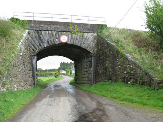 bridgebridge · 1.0 mi
 Garrycloyne Castle (in Ruins)Castle, tower house · 1.9 mi
 Castle (Site of)Castle, unclassified · 2.1 mi
 BatsVisitor information · 3.4 mi
 Waterloo Loop WalkWalking route · 3.6 mi
 River Martin Mill & WeirVisitor information · 3.6 mi
 Bottle HillMountain / peak · 3.6 mi