What is recorded here
Kilmona held a forty-metre earthen ring on a west-facing slope, visible in maps from 1842 to 1938 before local residents levelled it around 1963. The earth vanished from human sight but reappeared later as a soil mark in an aerial photograph, proving the ground still remembers what tools erased. Fairy forts often work this way: they stop being buildings and become patterns in grass, shadow, or memory. What was removed did not disappear; it changed the rules of visibility.
In pasture, on W-facing slope. Depicted as hachured circular enclosure (diam. c. 40m) on 1842, 1904 and 1938 OS 6-inch maps. According to local information, levelled c. 1963; no visible surface trace. Clearly visible as soil mark in aerial photograph (CASAP, 1986).
The above description is derived from the published 'Archaeological Inventory of County Cork. Volume 3: Mid Cork' (Dublin: Stationery Office, 1997). In certain instances the entries have been revised and updated in the light of recent research.
Date of upload/revision: 14 January 2009
A fairy fort / earthen ringfort in Kilmona is a circular early-medieval defensive or domestic site, likely dating to between the 5th and 10th centuries AD. Local tradition associates such sites with the faé or supernatural beings, and they were often avoided or revered in rural folklore.
The monument record does not grant public access. Check the route and ask the landowner before entering private land.
- What survives
- Recorded monument
Places near here
 Glamcam BrBridge · 883 yd
 Graveyard in KilmonaGraveyard · 1010 yd
 Pairc Ath Na hEornaMemorial · 1133 yd
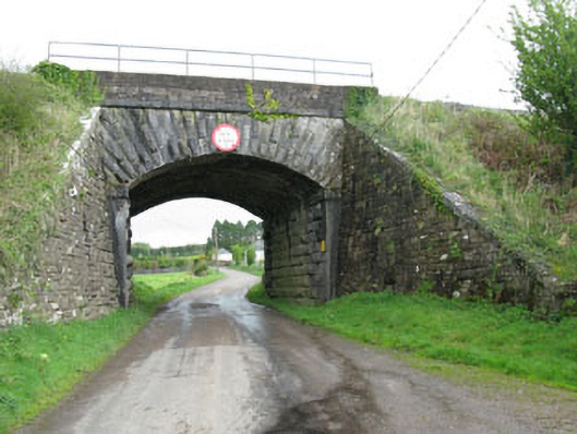 bridgebridge · 1364 yd
 IndicatedFairy fort / earthen ringfort · 1446 yd
 Megalithic tomb in GlancamMegalithic tomb · 1.1 mi
 Garrycloyne Castle (in Ruins)Castle, tower house · 1.7 mi
 Castle (Site of)Castle, unclassified · 1.8 mi
 BatsVisitor information · 3.2 mi
 Waterloo Loop WalkWalking route · 3.4 mi
 River Martin Mill & WeirVisitor information · 3.5 mi
 Rock HillMountain / peak · 3.7 mi