What is recorded here
Kilmona is an earthen ringfort. It is a circular enclosure with a raised bank and a shallow ditch outside. The bank stands about two metres high and forms a broken circle on a north-facing slope. The southern part has stones inside the earth and now joins a field fence. Cattle may still walk past the place where people once drew a line around their own world.
In pasture, on N-facing slope. Circular area (34m E-W; 33m N-S) defined by earthen bank (max. H 2.1m); external fosse (D 0.5m) survives SE->SW; faint trace of shallow fosse noted to NE and E. Break in bank to SW (Wth 2m) and to W (Wth 4m). Bank to S, stone-faced internally, incorporated into field fence system. Stone quarried from interior surface inside S bank.
The above description is derived from the published 'Archaeological Inventory of County Cork. Volume 3: Mid Cork' (Dublin: Stationery Office, 1997). In certain instances the entries have been revised and updated in the light of recent research.
Date of upload/revision: 14 January 2009
The monument record does not grant public access. Check the route and ask the landowner before entering private land.
- What survives
- Recorded monument
Places near here
 Graveyard in KilmonaGraveyard · 261 yd
 IndicatedFairy fort / earthen ringfort · 628 yd
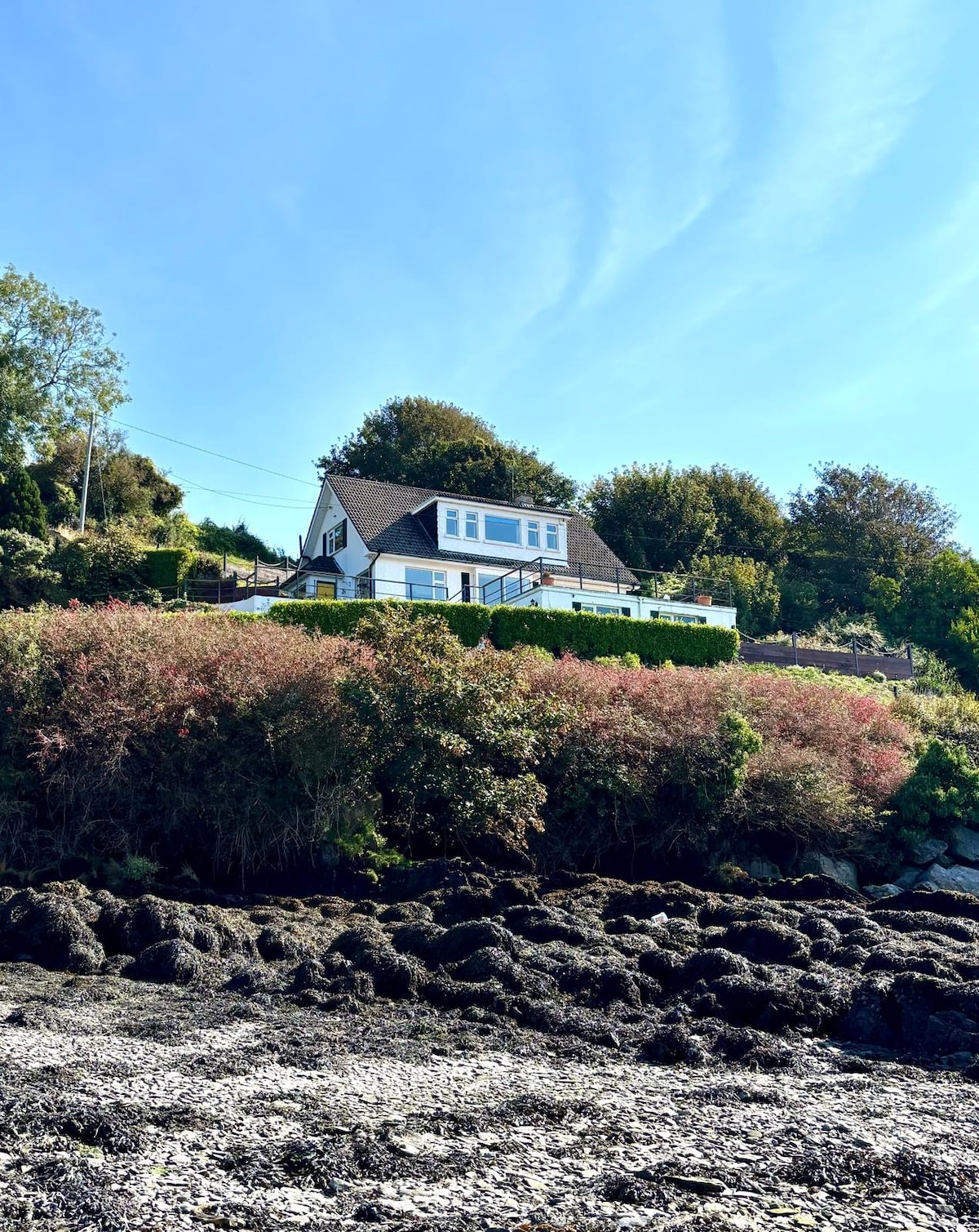 Fulacht fia in Dromgarriff NorthFulacht fia · 959 yd
 Glamcam BrBridge · 1572 yd
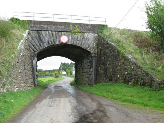 bridgebridge · 1.3 mi
 Pairc Ath Na hEornaMemorial · 1.3 mi
 Garrycloyne Castle (in Ruins)Castle, tower house · 2.1 mi
 Castle (Site of)Castle, Anglo-Norman masonry castle · 3.4 mi
 BatsVisitor information · 3.5 mi
 Bottle HillMountain / peak · 3.5 mi
 Waterloo Loop WalkWalking route · 3.7 mi
 River Martin Mill & WeirVisitor information · 3.7 mi