What is recorded here
Fairy fort in Kilmihil, County Limerick: a 30-metre earthen ring on a gentle west-facing slope, with a shallow outside ditch and a low bank running east-southeast. Dense growth still fills the middle, so the ring reads less like a ruin and like a living edge: something set a boundary, marked a field, or kept out what should not wander in. Cattle may have grazed around it for generations while the old line held beneath grass and shadow.
National monument No. 538. In pasture, on gentle W-facing slope. Circular area (diam. c. 30m) enclosed by earthen bank (int. H 0.65m; ext. H 0.65m) with an external fosse (D 0.35m; Wth 1.5m). Low earthen bank runs radially out from site at ESE. Interior, and most of enclosing element, are covered by dense overgrowth.
Compiled by: Denis Power
Date of upload: 26 August 2011
The monument record does not grant public access. Check the route and ask the landowner before entering private land.
- What survives
- Recorded monument
Places near here
 Enclosure in Kilmihil (connello Upper By.)Enclosure · 220 yd
 Burial Ground for ChildrenChildren's burial ground · 243 yd
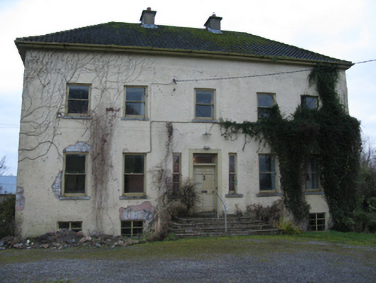 Odell Villecountry house · 1720 yd
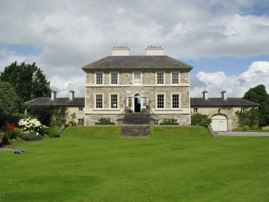 Ballyneale Housecountry house · 1.2 mi
 Hachured (1923).Castle, motte · 1.4 mi
 Famine stoneMemorial · 1.5 mi
 Castle (in ruins)Castle, tower house · 1.8 mi
 KnockfeerinaMountain / peak · 2.0 mi
 Our Lady's WellSpring · 3.1 mi
 Lady's WellSpring · 3.1 mi
 Flat cemetery in Kiltenan SouthFlat cemetery · 4.6 mi
 European ashEuropean ash · 5.0 mi