What is recorded here
No amount of wishing brings back the fort that vanished from Kilmihil. It is gone, levelled into the pasture, and the fairy label cannot be tested when there is no fort left to test.
In pasture, on S-facing hill slope. Monument, depicted as circular enclosure (diam. c. 40m) on 1923 OS 6-inch map, has been levelled. No trace of monument evident when inspected.
Compiled by: Denis Power
Date of upload: 26 August 2011
The monument record does not grant public access. Check the route and ask the landowner before entering private land.
- What survives
- Recorded monument
Places near here
 Burial Ground for ChildrenChildren's burial ground · 480 yd
 Enclosure in Kilmihil (connello Upper By.)Enclosure · 818 yd
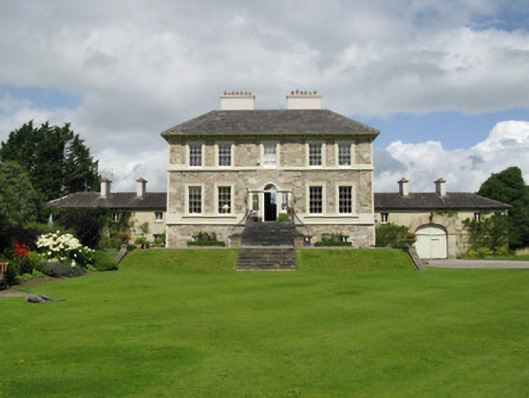 Ballyneale Housecountry house · 1.2 mi
 Famine stoneMemorial · 1.2 mi
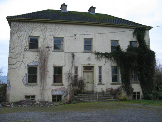 Odell Villecountry house · 1.3 mi
 Hachured (1923).Castle, motte · 1.4 mi
 KnockfeerinaMountain / peak · 1.6 mi
 Castle (in ruins)Castle, tower house · 1.7 mi
 Our Lady's WellSpring · 3.1 mi
 Lady's WellSpring · 3.4 mi
 Flat cemetery in Kiltenan SouthFlat cemetery · 4.4 mi
 European ashEuropean ash · 5.3 mi