What is recorded here
Fairy fort in Kilmihil, County Limerick: a 45-metre earthen ring with a shallow outer ditch, a western gap, and stone facing at the northwest. Cattle graze above faint cultivation ridges, while the broken bank invites imagination about who entered, left, or was forgotten.
In level pasture. Circular area (45m E-W) enclosed by earthen bank (int. H 0.45m; ext. H 2m) with external fosse (D 0.6m; Wth 1.4m). Break (Wth 2m) in bank at W. There is stone facing on outer face of bank at NW. Interior, under pasture, generally level but with slight trace of cultivation ridges.
Compiled by: Denis Power
Date of upload: 26 August 2011
The monument record does not grant public access. Check the route and ask the landowner before entering private land.
- What survives
- Recorded monument
Places near here
 Enclosure in Kilmihil (connello Upper By.)Enclosure · 409 yd
 Burial Ground for ChildrenChildren's burial ground · 653 yd
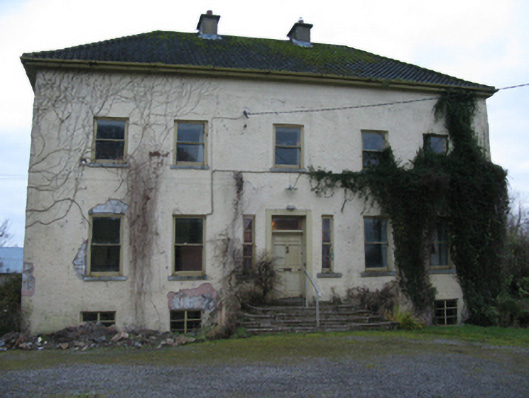 Odell Villecountry house · 1225 yd
 Church (in ruins)Church · 1.0 mi
 Hachured (1923).Castle, motte · 1.2 mi
 Castle (in ruins)Castle, tower house · 1.6 mi
 Famine stoneMemorial · 1.7 mi
 KnockfeerinaMountain / peak · 2.2 mi
 Lady's WellSpring · 2.8 mi
 Sunday WellSpring · 2.8 mi
 Flat cemetery in Kiltenan SouthFlat cemetery · 4.5 mi
 European ashEuropean ash · 4.7 mi