What is recorded here
Half a kilometre west of Kilmaghera, a shallow ditch still circles a grassy disc perched on a drumlin ridge. People called it a fairy fort, but the shape and setting suggest human hands made a small defended home or marker long before the fairies entered the story. The land has been farmed and forgotten, yet the circle remains visible enough to tempt imagination.
Located in reclaimed pasture at the summit of a NE-SW drumlin ridge. This is a grass-covered circular area (int. diam. 230) defined by a slight fosse (Wth 2.5-5m; max. D 0.25m).
The above description is derived from 'The Archaeological Inventory of County Leitrim' compiled by Michael J. Moore (Dublin: Stationery Office, 2003). In certain instances the entries have been revised and updated in the light of recent research.
Date of upload: 23 September 2008
The monument record does not grant public access. Check the route and ask the landowner before entering private land.
- What survives
- Recorded monument
Places near here
 fortsFairy fort / earthen ringfort · 1427 yd
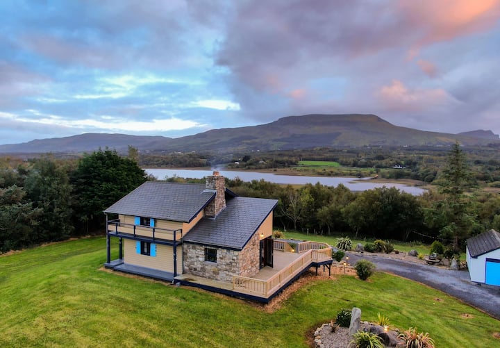 DoonbreenPromontory fort, inland · 1540 yd
 Leabaidh DermotCave · 1.2 mi
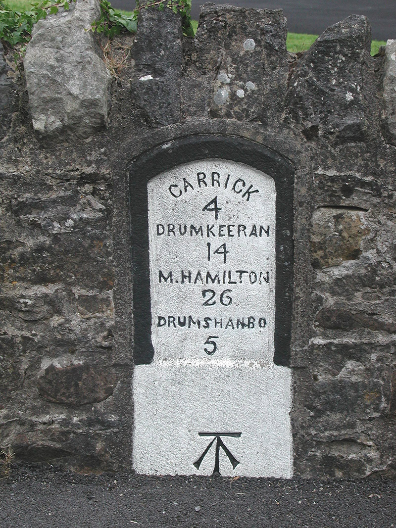 milestone/milepostmilestone/milepost · 1.3 mi
 Shannon-Erne WaterwayVisitor information · 1.3 mi
 Sit of Breifny CastleCastle, tower house · 1.3 mi
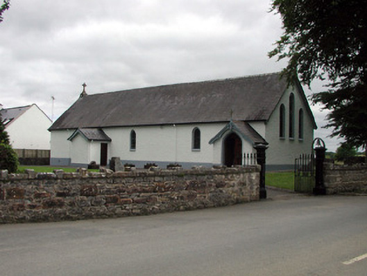 Saint Joseph's Catholic Churchchurch/chapel · 1.3 mi
 Sheemore Ambush MemorialMonument · 1.5 mi
 Battle of Áth an Chipbattle · 1.6 mi
 InishnagonIsland · 1.6 mi
 PortCastle, unclassified · 2.2 mi
 Derreenargan WoodWood · 3.3 mi