What is recorded here
Half-buried under rough pasture and a straight field wall, the Kilmaghera ringfort keeps its western bank intact while the eastern edge has surrendered to time. Its D-shaped hollow tilts toward the sunrise, inviting speculation about whether people, fairies, or both once called it home. The surviving earthen ridge still marks the boundary between the ordinary field and the forgotten life that shaped it.
Situated in rough pasture with some rock outcrop and towards the top of a gentle E-facing rise. This is an oval or D-shaped scrub-covered area (dims 39m E-W; c. 30m N-S) that slopes down to the E and is defined by a round-topped, steep-sided earthen bank (Wth 3.1m; int. H 0.9m; ext. H 1.25m) W-NW which is reduced to a scarp NW-E. The monument is bisected by an E-W field wall and the enclosing feature has been removed S of this.
The above description is derived from 'The Archaeological Inventory of County Leitrim' compiled by Michael J. Moore (Dublin: Stationery Office, 2003). In certain instances the entries have been revised and updated in the light of recent research.
Date of upload: 23 September 2008
This remains an important historical record, but the official description says the monument is no longer visible or has been destroyed. The monument record does not grant public access. Check the route and ask the landowner before entering private land.
- What survives
- No visible remains or recorded as destroyed
Places near here
 IndicatedFairy fort / earthen ringfort · 1.0 mi
 LisconorFairy fort / earthen ringfort · 1.1 mi
 InishnagonIsland · 1.5 mi
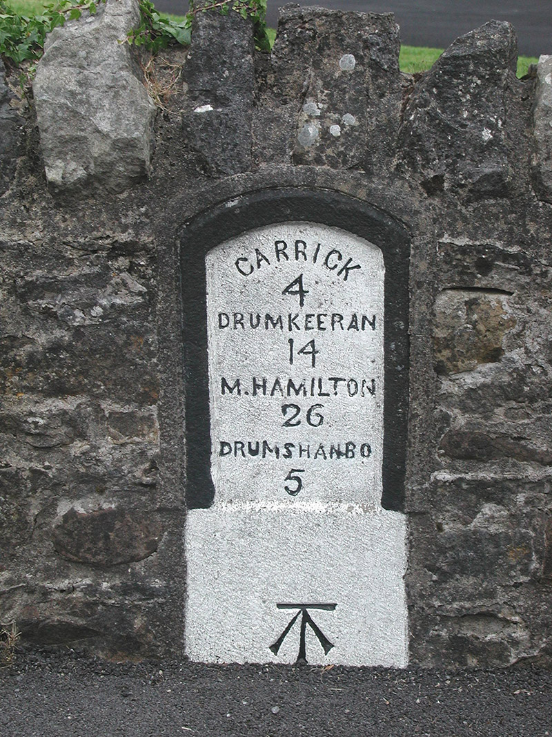 milestone/milepostmilestone/milepost · 1.5 mi
 Leabaidh DermotCave · 1.5 mi
 Shannon-Erne WaterwayVisitor information · 1.6 mi
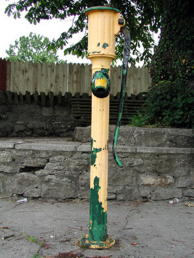 water pumpwater pump · 1.6 mi
 Sit of Breifny CastleCastle, tower house · 1.6 mi
 Battle of Áth an Chipbattle · 1.7 mi
 Sheemore Ambush MemorialMonument · 1.8 mi
 PortCastle, unclassified · 2.4 mi
 Derreenargan WoodWood · 3.0 mi