What is recorded here
Located at the bottom of a S-facing slope. This is an overgrown circular area (diam. c. 30m) defined by an earthen bank (Wth 2m; H 0.8m), which is reduced to a scarp (H 1.5m) at S (downslope). An entrance (Wth 2.4m) at NNE might not be original, and there is no visible fosse.
The above description is derived from the published 'Archaeological Inventory of County Waterford' (Dublin: Stationery Office, 1999). In certain instances the entries have been revised and updated in the light of recent research.
Date of upload/revision: 23 December 2008
The monument record does not grant public access. Check the route and ask the landowner before entering private land.
- What survives
- Recorded monument
Places near here
 Kilmacomma HillMountain / peak · 594 yd
 Man-made underground passage in CaherbaunMan-made underground passage · 769 yd
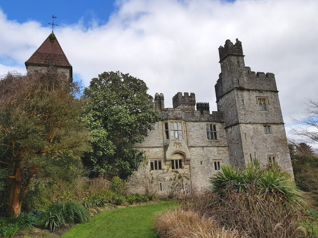 (Site of) White fortFairy fort / earthen ringfort · 810 yd
 farm housefarm house · 1113 yd
 Carey's Castle WoodsVisitor information · 1268 yd
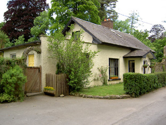 Church Lodgegate lodge · 1.0 mi
 Crusader's GraveHeritage attraction · 1.0 mi
 European ashEuropean ash · 1.1 mi
 American SweetgumAmerican Sweetgum · 1.1 mi
 Carey's CastleCastle · 1.1 mi
 Greenan Castle (in Ruins)House, fortified house · 1.3 mi
 Toberaheena WellSpring · 1.6 mi