What is recorded here
Situated on a slight natural rise surrounded by gently undulating grassland with good views to the SE, SW & NW. Ringfort (WM010-039----) 75m to E. No surface remains visible of monument which was levelled between 1972-3. Described in 1972 as a sub-circular shaped area (approx. diam. 23m N-S; 20m E-W) enclosed by a poorly preserved bank and slight external fosse. The bank is levelled at from S-SE, & from NNE-N. There is an entrance gap (Wth 3.8m) at SW. The interior slopes from NNW-SSE. At the centre of the monument, and occupying most of the interior is a rectangular house site (WM010-038001-). Four low banks extend from this house site at SW, NW, ENE & NE towards the perimeter. No surface remains visible on Digital Globe aerial photograph taken November 2011.
See attached sketch plan of monument drawn by ASI in 1972.
Compiled by: Frank Coyne and Caimin O'Brien
Date of upload: 9 June 2017
The monument record does not grant public access. Check the route and ask the landowner before entering private land.
- What survives
- Recorded monument
Places near here
 CastleCastle, unclassified · 306 yd
 Hut site in BallintueHut site · 829 yd
 OutlinedFairy fort / ringfort · 925 yd
 Church (in Ruins)Church · 1006 yd
 Site of CastleCastle, unclassified · 1124 yd
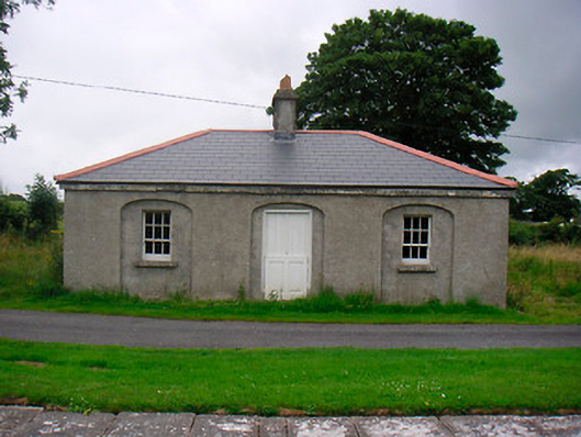 35th Locklock keeper's house · 1174 yd
 Baronstown ForestWood · 2.4 mi
 Horse-chestnutHorse-chestnut · 2.4 mi
 Abbeyshrule AbbeyRuins · 4.8 mi
 Newcastle WoodsForest · 7.5 mi
 Noughaval CemeteryArchaeological place · 10 mi
 National Famine WayWalking route · 11 mi