What is recorded here
Kilmaclenine holds a forty-metre earthen ring on a gentle north-west slope, marked by a shallow fosse and a well immediately to the north. Field boundaries and deep drains have cut through its interior, yet the circular shape remains clear enough to suggest a lived-in place rather than a forgotten shape. The fort may have served nearby farms, sheltered people in bad weather, or marked a boundary between neighbours. Whatever it did, it still occupies the land and invites attention.
In pasture, on gentle NW-facing slope. Depicted as circular depression (diam. c. 40m) on 1937 OS 6-inch map, bisected off centre to NE by field boundary; arc formed by hachured bank survives on 1842 and 1905 OS 6-inch map, to SW of field boundary; field boundary hachured on 1842 OS 6-inch map, as if forming part of enclosure. Circular area (32m NNW-SSE) enclosed by shallow fosse, best preserved ESE->W. Interior on NE side cut by field boundary running NNW->SSE. Deep drain cut along both sides of field boundary. Well depicted, immediately to N of enclosure, on all three editions of OS 6-inch map.
The above description is derived from the published 'Archaeological Inventory of County Cork. Volume 4: North Cork' (Dublin: Stationery Office, 2000). In certain instances the entries have been revised and updated in the light of recent research.
Date of upload/revision: 14 January 2009
The monument record does not grant public access. Check the route and ask the landowner before entering private land.
- What survives
- Recorded monument
Places near here
 Burnt mound in KilmaclenineBurnt mound · 323 yd
 Kilmaclenine CastleCastle · 601 yd
 Bawn of Kilmaclenine (in Ruins)House, fortified house · 690 yd
 Ecclesiastical enclosure in KilmaclenineEcclesiastical enclosure · 696 yd
 Kilmaclenine Church (in Ruins)Church · 720 yd
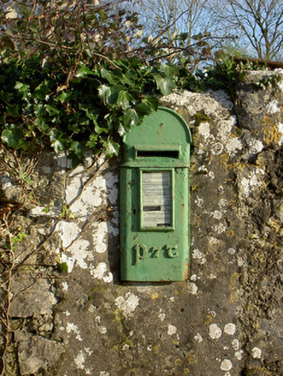 post boxpost box · 1.6 mi
 Lady's WellSpring · 1.9 mi
 Graveyard in Ballygiblin (duhallow By.)Graveyard · 3.3 mi
 European YewEuropean Yew · 4.9 mi
 Battle of LiscarrollMajor battlefield · 5.0 mi
 Burial ground in AssolasBurial ground · 5.1 mi
 In loving memory of Elvis O'DonoghueMemorial · 5.8 mi