What is recorded here
Fairy fort / earthen ringfort in Killynan (pratt) is a fairy fort or earthen ringfort in Killynan (pratt), County Westmeath, Ireland. The 1970 survey described the site as a broad oval-shaped area, measuring thirty-one metres from north-northeast to south-southwest and twenty-six metres from northwest to southeast, enclosed by a steep bank and an external fosse. The bank, with an external height of 1.7 metres, was visible from east through south and at west, though it was much defaced at east-northeast, south-southwest, west-southwest and west-northwest by modern quarrying. A slight fosse was visible from southeast through south, west and north.
Situated on a slight rise, in gently undulating pasture with good views in all directions. Depicted on the 1837 ed. OS 6-inch map as a suboval-shaped earthwork. Monument described in 1970 as a broad oval-shaped area (31m NE-SW; 26m NW-SE) enclosed by a steep bank and external fosse. The bank (ext. H 1.7m) is visible from E-S and at W, however it is much defaced at ENE, SSW, WSW and WNW by modern quarrying. There is a slight fosse visible from SE-S-W-N. The original entrance is not recognisable. The interior has a gentle E-facing slope. A house site (WM020-009001-) can be seen in the NW quadrant. Monument is visible today as a suboval-shaped earthwork on Digital Globe aerial photography.
Compiled by: Alison McQueen, Vera Rahilly and Caimin O’Brien
Date of upload: 25 May 2019
The monument record does not grant public access. Check the route and ask the landowner before entering private land.
- What survives
- Recorded monument
Places near here
 Partially hachuredFairy fort / ringfort · 245 yd
 Enclosure in ClonlostEnclosure · 658 yd
 Clondrisse Houseoutbuilding · 889 yd
 Saint Joseph's Catholic Churchchurch/chapel · 1072 yd
 CastleCastle, ringwork · 1.0 mi
 OutlinedCastle, unclassified · 1.6 mi
 GinkgoGinkgo · 1.7 mi
 KnockeyonMountain / peak · 6.0 mi
 The FurzeForest · 6.7 mi
 Kells HillMountain / peak · 9.6 mi
 Croppies' GraveMemorial · 12 mi
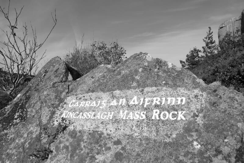 Mass-rock in TevrinMass-rock · 1090 yd