What is recorded here
Killymoriarty holds a broad oval rath, forty-six metres long and thirty-seven wide, where a low earthen bank still traces the shape despite field work leveling part of the east side. The entrance has vanished, but the boundary remains visible enough to walk the whole circuit and measure the space meant for living. Local people may have called it a fairy fort because the hidden entrance and unfamiliar shape resisted ordinary explanation.
Raised oval area (int. dims. 46.2m NNW-SSE; 36.7m ENE-WSW) enclosed by a low earthen bank which has been modified and incorporated into the field boundary. It has been levelled for a stretch at E but its outline is still identifiable. Original entrance not recognisable.
The above description is derived from the published 'Archaeological Inventory of County Cavan' (Dublin: Stationery Office, 1995). In certain instances the entries have been revised and updated in the light of recent research.
Date of upload/revision: 22 December 2008
The monument record does not grant public access. Check the route and ask the landowner before entering private land.
- What survives
- Recorded monument
Places near here
 Giants GraveArchaeological place · 284 yd
 Derryragh FortHilltop enclosure · 801 yd
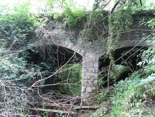 Killyran Bridgebridge · 1335 yd
 IndicatedCastle, tower house · 1520 yd
 Common LimeCommon Lime · 1695 yd
 SycamoreSycamore · 1.0 mi
 Saint Mogue's IslandIslet · 1.1 mi
 RuinChurch · 1.1 mi
 Enclosure in CorEnclosure · 1.4 mi
 CastleCastle, ringwork · 1.5 mi
 Killycluggin StoneVisitor information · 1.8 mi
 DerrynigginMountain / peak · 1.9 mi