What is recorded here
Killycannan holds a broad oval rath where an earthen bank still rises above the Cavan field. People called it a fairy fort, perhaps because the boundary cuts through the middle like a forgotten door between worlds. The east side has been levelled for farming, yet the perimeter remains clear enough to walk. Modern trenches and drystone patches mark later hands, but the original shape resists erasure.
Raised oval area (int. dims. 53m N-S; 41m E-W) enclosed by traces of an earthen bank. A field boundary running NNW-SSE divides the internal area into two roughly equal portions. Although the portion of the site E of this has been levelled, the perimeter can still be clearly traced. In recent times drystone walling has been applied to the outer face of the embankment from S-SW. There are modern trenches outside of bank from SSE-S and from NW-N. Original entrance not recognisable.
The above description is derived from the published 'Archaeological Inventory of County Cavan' (Dublin: Stationery Office, 1995). In certain instances the entries have been revised and updated in the light of recent research.
Date of upload/revision: 22 December 2008
The monument record does not grant public access. Check the route and ask the landowner before entering private land.
- What survives
- Recorded monument
Places near here
 Corgarran ForestForest · 1156 yd
 IndicatedHoly well · 1182 yd
 Shannow ForestForest · 1543 yd
 Carricknagore RockNamed rock · 1.0 mi
 Bawn in MoynehallBawn · 1.2 mi
 Church in Cashel (clanmahon By.)Church · 1.2 mi
 RathcorickArchaeological place · 1.5 mi
 BellvilleMountain / peak · 1.6 mi
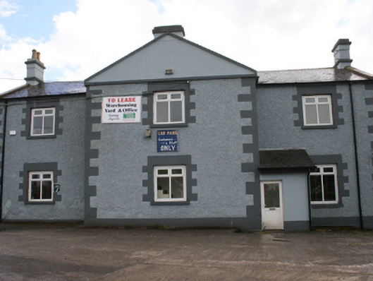 Cavan Schoolschool · 2.1 mi
 Castle CosbyCastle, unclassified · 2.1 mi
 Dennmore or LeggandennMountain / peak · 2.5 mi
 Owen Roe O'Neill graveMemorial · 2.6 mi