What is recorded here
In hillside pasture, on a steep NW-facing slope. Circular area (dims. 30m NE-SW; 28m SE-NW) defined by bank (upslope Wth 6.8m; downslope Wth 7.25m; int. H upslope 1.4m; int. H downslope 0.20m; ext. H upslope 0.25m; ext. H downslope 1.4m) of earth and stone. Bank reduced to scarp (Wth 2.25m; H 1.1m) W-NW and incorporated into field boundary SE-W. Remnants of dilapidated stone wall built on top of bank where incorporated into field boundary SE-W. External fosse (Wth 3m; D 0.45m) encloses monument ESE-SE. Interior in pasture with steep prevalent slope.
Compiled by: Jean Farrelly
Date of upload: 26 August 2011
The monument record does not grant public access. Check the route and ask the landowner before entering private land.
- What survives
- Recorded monument
Places near here
 Killusty CastleCastle · 1313 yd
 CarrigdotiaMountain / peak · 1365 yd
 CarrickbrockMountain / peak · 1492 yd
 IndicatedFairy fort / earthen ringfort · 1740 yd
 Killusty Bridgebridge · 1.1 mi
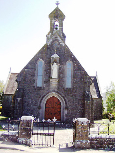 Catholic Church of the Sacred Heartchurch/chapel · 1.1 mi
 Clare Castle (in ruins)Castle, hall-house · 1.4 mi
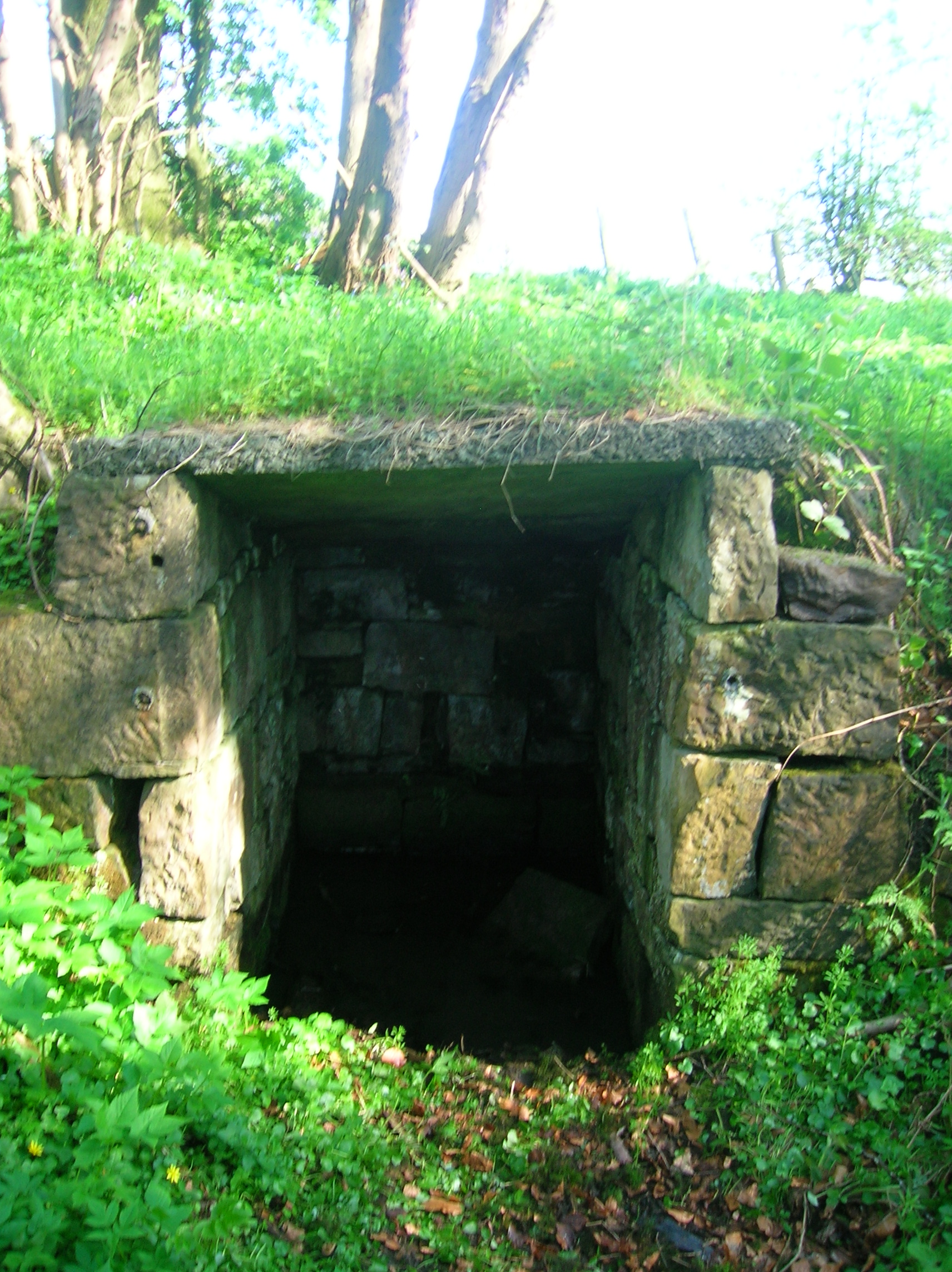 Ladys WellHoly well · 1.5 mi
 Pedunculate OakPedunculate Oak · 1.6 mi
 Grove WoodForest · 3.0 mi
 East GateMemorial · 3.7 mi
 Loughcapple Househouse · 1.3 mi