What is recorded here
Killuragh holds a forty-six metre earthen ring where human hands shaped the slope centuries before maps existed. The grass-covered bank still rises two metres on the outside, enclosing a shallow saucer that likely sheltered people, livestock, or secrets. Modern pipes and a careless treasure hole have pierced the ancient skin, yet the circle remains the dominant feature on the ESE-facing pasture.
In pasture, on break in ESE-facing slope. Depicted as hachured circular enclosure (diam. c. 45m) on 1842 OS 6-inch map; as hachured circular raised area (diam. c. 40m) on 1905 and 1935 OS 6-inch maps. Roughly circular, raised area (46m N-S; 41m E-W) enclosed by grass-covered earthen bank (max. int. H 0.95m; max. ext. H 2.1m); shallow external fosse. Second earthen bank (max. int. H 0.4m; max. ext. H 1.5m) survives E->S; scarp NE->E. Interior slopes down very gently to SE. Levelled profile of bank gives interior saucer-like profile. According to local information drainage pipe inserted across site; feeding trough and water mains pipe in N quadrant; large hole dug in NE quadrant by person looking for treasure.
The above description is derived from the published 'Archaeological Inventory of County Cork. Volume 4: North Cork' (Dublin: Stationery Office, 2000). In certain instances the entries have been revised and updated in the light of recent research.
Date of upload/revision: 14 January 2009
The monument record does not grant public access. Check the route and ask the landowner before entering private land.
- What survives
- Recorded monument
Places near here
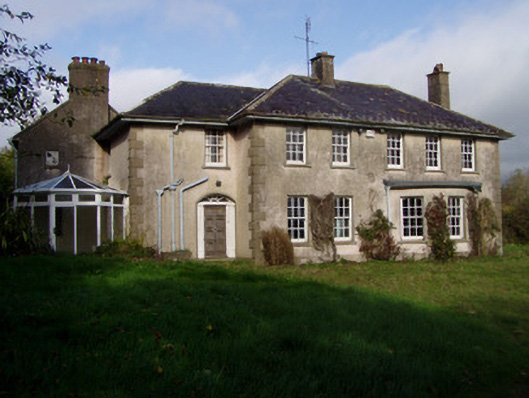 The Glenhouse · 217 yd
 Holy well in KilluraghHoly well · 222 yd
 Field system in KilluraghField system · 1132 yd
 Railway bridge in BallygriffinRailway bridge · 1162 yd
 Killavullen CavesCave · 1.1 mi
 Monanimy CastleCastle, tower house · 1.1 mi
 Cave in BallymacmoyCave · 1.1 mi
 Carrig Castle (in Ruins)Castle, tower house · 1.4 mi
 Killavuleen LOOPVisitor information · 1.5 mi
 Anne's Grove GardensHeritage attraction · 3.6 mi
 Lover's LeapCliff · 4.3 mi
 Lover' LeapCliff · 4.3 mi