What is recorded here
On a level landscape. Circular grass-covered area (diam. 20m) defined by a scarp (0.4-1m) SE-NNE which merges into the ground elsewhere. There is no visible fosse or entrance.
Compiled by: Michael Moore
Date of upload: 24 August 2010
The monument record does not grant public access. Check the route and ask the landowner before entering private land.
- What survives
- Recorded monument
Places near here
 Tober ConnellanHoly well · 271 yd
 IndicatedChurch · 516 yd
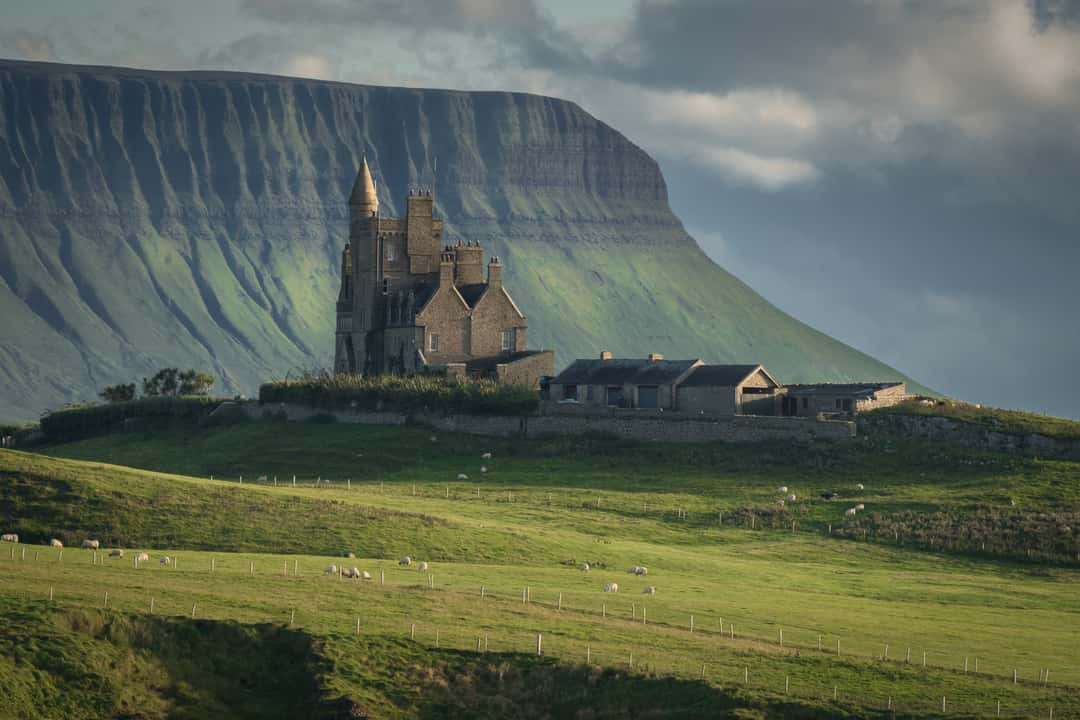 Enclosure in MullaghmoreEnclosure · 775 yd
 Carrick-on-Shannon Railway Stationrailway station · 1600 yd
 Moon RiverHeritage attraction · 1.4 mi
 Hughestown WoodForest · 2.9 mi
 Castle (Site of)Castle, unclassified · 3.4 mi
 Mullinashee WoodForest · 3.5 mi
 Site of Dangan CastleCastle, unclassified · 4.1 mi
 Patrick Gill Memorial Plaque (IRA)Monument · 4.3 mi
 Robert Strawbridge MemorialMemorial · 4.4 mi
 Leabaidh DermotCave · 6.2 mi