What is recorded here
Situated on top of a slight natural rise in undulating reclaimed grassland, with good views to the W, N & E. A stream which marks the county boundary with Meath is 90m to W. A sub-circular shaped area (approx. diam. 35m N-S; 39m E-W) enclosed by a poorly preserved earthen bank and a shallow external fosse. Traces of cultivation ridges are visible running E-W across the interior of the monument. 5m to the SSE of this monument is an irregular shaped area (approx. diam. 40m N-S; 43m E-W) enclosed by a slight earthen bank which is visible on Digital Globe aerial photograph taken November 2011. This field has several old water courses and drainage channels visible on the Digital Globe aerial photograph. It is possible that this earthwork or possible enclosure immediately to SSE is related to post-1700 land reclamation works. The morphology of this earthwork is irregular and ragged in outline compared to the circular nature of the adjoining ringfort.
Compiled by: Frank Coyne and Caimin O'Brien
Date of upload: 26 April 2017
The monument record does not grant public access. Check the route and ask the landowner before entering private land.
- What survives
- Recorded monument
Places near here
 Killua Castlegate lodge · 1164 yd
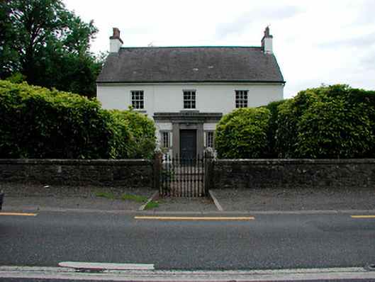 Fairy Parkhouse · 1214 yd
 OutlinedFairy fort / earthen ringfort · 1.0 mi
 Stone CrossCross, Wayside cross · 1.2 mi
 Round TowerCastle, tower house · 1.3 mi
 Moneen WoodWood · 1.7 mi
 Growney's WoodForest · 1.8 mi
 CastleCastle, unclassified · 1.9 mi
 Drewstown LittleMountain / peak · 1.9 mi
 CloncatMountain / peak · 2.4 mi
 BoglandMemorial · 3.2 mi
 Causey FarmHeritage attraction · 3.4 mi