
What is recorded here
Situated on a prominent natural rise in the Deerpark of Killua Castle demesne. Killua Castle 480m to NNE. A folly depicted on the 1837 ed. OS 6-inch map as 'Monument' in Gothic script is located 200m to NE. A raised sub-circular shaped area (approx. diam. 31.5m N-S; 28m E-W) enclosed by two earthen banks with intervening fosse. There is an entrance gap (Wth 3m) at E. The outer bank is visible only from SE-S. The interior rises from the perimeter towards the centre. This ringfort may have been reused as a landscape feature in the post-1700 period. The earthwork may have some association with the Deerpark of Killua Castle. Depicted as a tree plantation and not as an antiquity on the 1837 ed. OS 6-inch map which casts doubt about the antiquity of this earthwork.
See attached plan and section of monument surveyed and drawn by the ASI.
Compiled by: Frank Coyne and Caimin O'Brien
Date of upload: 28 April 2017
The monument record does not grant public access. Check the route and ask the landowner before entering private land.
- What survives
- Recorded monument
Places near here
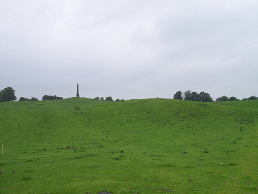 Killua Castleobelisk · 245 yd
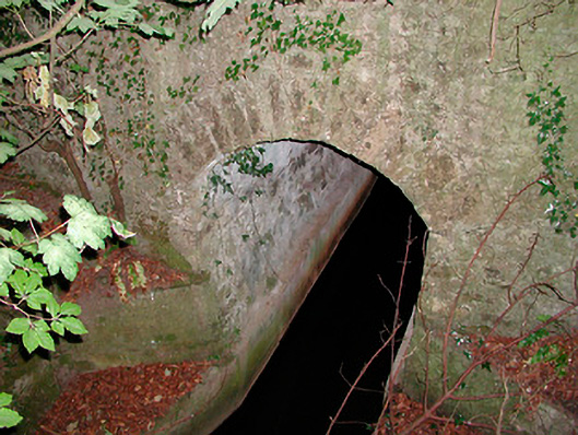 bridgebridge · 682 yd
 Moneen WoodWood · 1.5 mi
 Dervotstown CastleCastle · 1.6 mi
 CastleCastle, unclassified · 1.6 mi
 Beggarbush WoodWood · 1.6 mi
 Drewstown LittleMountain / peak · 1.8 mi
 Enclosure in Heathstown (delvin By.)Enclosure · 2.1 mi
 Stone CrossCross, Wayside cross · 2.2 mi
 CloncatMountain / peak · 2.9 mi
 BoglandMemorial · 3.4 mi
 Causey FarmHeritage attraction · 3.4 mi
Other information
Photo: Credit not shown in the picture search · Rights wording not checked; contact us if this picture should be removed