What is recorded here
Circular area (diam 40m N-S; 38m E-W) enclosed by an earthen bank (Wth 2m, ext. H 0.5m) with external fosse (Wth 2m) and traces of an external bank at W only (ext. H 0.7m). This external bank was probably destroyed on the other sides by ploughing around the ringfort. Possible entrance gap (Wth 3m) at E. The interior of the site is very overgrown making examination difficult.
The above description is derived from the published 'Archaeological Inventory of County Offaly' (Dublin: Stationery Office, 1997). In certain instances the entries have been revised and updated in the light of recent research.
Date of upload: 23 May 2011
The monument record does not grant public access. Check the route and ask the landowner before entering private land.
- What survives
- Recorded monument
Places near here
 Enclosure in KilloolyEnclosure · 838 yd
 Killooley CastleCastle · 1062 yd
 CairnCairn, wayside cairn · 1171 yd
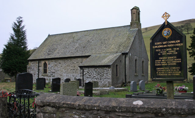 Rathlihen church (in Ruins), Grave YardChurch · 1222 yd
 Rathlihen Castle (ruins)Castle · 1341 yd
 Lowerton HillMountain / peak · 1.4 mi
 Troy's Island or DerryheeraghMountain / peak · 1.4 mi
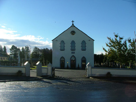 Saint Brigid's Catholic Churchchurch/chapel · 1.5 mi
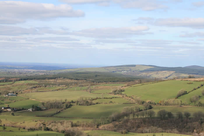 The Offaly WayWalking route · 1.9 mi
 Graveyard in Ballyboy (ballyboy By.)Graveyard · 2.2 mi
 Knockhill GroveWood · 2.8 mi
 Graveyard in PallasGraveyard · 2.9 mi