What is recorded here
Killiney holds a forgotten ringfort where human hands shaped earth into a circle before the town appeared. The chamber may have housed a family, a herder or a keeper of routes, while the surrounding land changed around it. Time has smoothed the walls and covered the doors, but the shape still resists forgetting. To stand beside it is to touch the patience of earlier people, who believed a clear boundary could hold life together.
Extimated internal diam. 23m
A univallate rath situated on a very gentle, N facing slope at the foot of Stradbally mountain. There is an excellent outlook across Tralee and Brandon Bays as far as Brandon Head and Kerry Head. The site is generally in poor condition and dense vegetation obscures much of it. The bank rises a maximum of 1.3m in height externally and .7m internally; it is c. 4m wide at base. The outer flank of the bank in the NNW sector is faced with rough drystone masonry. Numerous large stones lie loose along the bank both internally and externally, suggesting that the facing was formerly more extensive. The bank has been removed from SE through E to N, and dumping of earth and stones against the N part of the bank further obscures the extant remains.
The above description is derived from J. Cuppage, ‘Corca Dhuibhne. Dingle Peninsula archaeological survey. Ballyferriter. Oidhreacht Chorca Dhuibhne’ (1986), no. 473. In certain instances the entries have been revised and updated in the light of recent research.
Date of upload: 7 August 2013
This remains an important historical record, but the official description says the monument is no longer visible or has been destroyed. The monument record does not grant public access. Check the route and ask the landowner before entering private land.
- What survives
- No visible remains or recorded as destroyed
Places near here
 Killiney Church (in ruins)Church · 796 yd
 IndicatedCastle, tower house · 797 yd
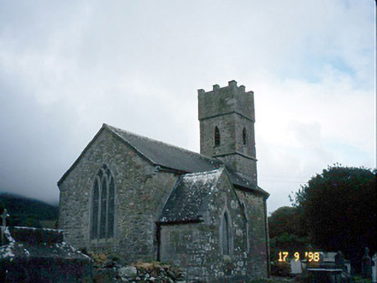 Saint Brendan's Church (Killiney)church/chapel · 800 yd
 ToberineyHoly well · 1120 yd
 Man-made underground passage in BarrackMan-made underground passage · 1172 yd
 Site of CastleCastle, unclassified · 1.4 mi
 CarrigadavMountain / peak · 2.0 mi
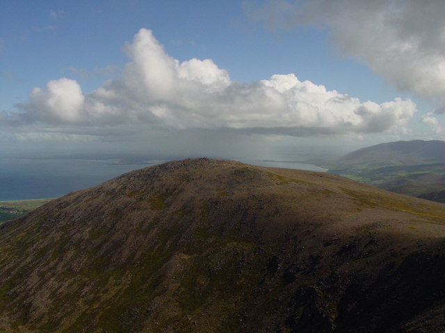 Stradbally MountainMountain / peak · 2.1 mi
 Fermoyle BeachBeach / strand · 2.6 mi
 Sandy Bay BeachBeach / strand · 2.7 mi
 Glanteenassig Forest ParkForest · 2.8 mi
 Hillville WoodWood · 3.0 mi