What is recorded here
An invisible hand drew the circle, perhaps a bedroom for the fairies or a kitchen where they baked bread for the living. People walked past the lane and never entered the fort because they knew the rules of the place. The fairies owned the circle and the living owned the road beside it.
Not marked on any OS ed. Known locally as the site of a 'fairy fort' (local information). All that survives to indicate the possible presence of an enclosure here is a raised circular platform (diam. c. 25m) demarcated by the curve of a now disused laneway from SE-S-NW. The inner face of the laneway is bordered by a low narrow bank of earth and stone.
The above description is derived from the published 'Archaeological Inventory of County Cavan' (Dublin: Stationery Office, 1995). In certain instances the entries have been revised and updated in the light of recent research.
Date of upload/revision: 22 December 2008
A fairy fort or earthen ringfort in Killeter, likely dating to the early medieval period, is represented by a circular raised platform of about 25 metres in diameter. Local tradition refers to the site as a 'fairy fort,' reflecting the common Irish association of such mounds with supernatural or otherworldly beings.
The monument record does not grant public access. Check the route and ask the landowner before entering private land.
- What survives
- Recorded monument
Places near here
 Sit of Old CastleCastle, unclassified · 1057 yd
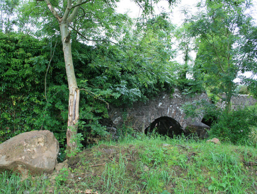 Skearke Bridgebridge · 1291 yd
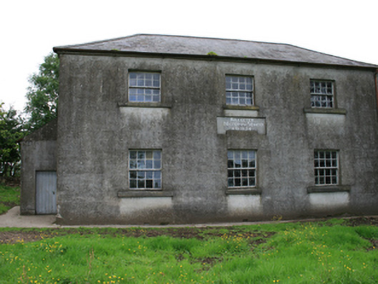 Killeter National Schoolschool · 1320 yd
 Enclosure in KilleterEnclosure · 1517 yd
 Sally IslandIslet · 1628 yd
 Green IslandPromontory fort, inland · 1642 yd
 Crow IslandIslet · 1.0 mi
 CastleCastle, tower house · 1.3 mi
 Cloghballybeg ForestForest · 1.5 mi
 Cornaglare or PalmiraMountain / peak · 1.6 mi
 Cloghbally LowerMountain / peak · 1.9 mi
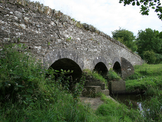 Annesbrook Bridgebridge · 1611 yd