What is recorded here
Fairy fort / earthen ringfort in Killeter, County Cavan, Ireland: A forgotten fort on a steep hill, now buried under a silage pit. It vanished not through war or decay, but human indifference. We build on top of mystery and call it progress. The earth keeps what we forget.
Marked 'Fort' on OS 1836 ed. and 'Site of' on 1876 ed. Situated on the S shoulder of a steep hill. The site is now occupied by a silage pit. Not visible at ground level.
The above description is derived from the published 'Archaeological Inventory of County Cavan' (Dublin: Stationery Office, 1995). In certain instances the entries have been revised and updated in the light of recent research.
Date of upload/revision: 22 December 2008
A fairy fort or earthen ringfort in Killeter, likely dating to the early medieval period, was marked on the 1836 Ordnance Survey map and later noted as "Site of" in 1876. Now occupied by a silage pit and not visible at ground level, it may have been associated with local folklore surrounding fairy dwellings or ancient habitation.
The monument record does not grant public access. Check the route and ask the landowner before entering private land.
- What survives
- Recorded monument
Places near here
 Sit of Old CastleCastle, unclassified · 897 yd
 Enclosure in KilleterEnclosure · 995 yd
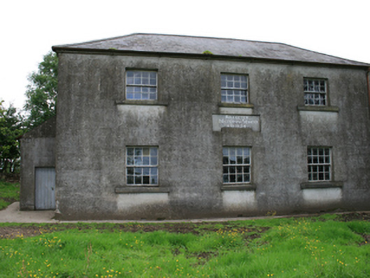 Killeter National Schoolschool · 1026 yd
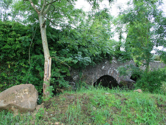 Skearke Bridgebridge · 1134 yd
 Green IslandPromontory fort, inland · 1737 yd
 Sally IslandIslet · 1742 yd
 Crow IslandIslet · 1.1 mi
 CastleCastle, tower house · 1.3 mi
 Cornaglare or PalmiraMountain / peak · 1.4 mi
 Cloghballybeg ForestForest · 1.5 mi
 Cloghbally LowerMountain / peak · 1.9 mi
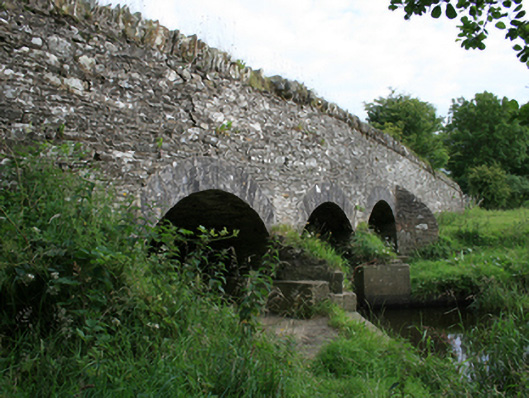 Annesbrook Bridgebridge · 1.0 mi