What is recorded here
Fairy fort / earthen ringfort in Killeenduff (tirerrill By.) is a fairy fort or earthen ringfort in Killeenduff (tirerrill By.), County Sligo, Ireland. It crowns the highest point on an east-west ridge in pasture. The raised circular area measures 34 metres north-south and 32.3 metres east-west with a 1.4-metre scarp. Occasional stones protrude at the northeast and southeast, while traces of a two-metre terrace appear outside the eastern and southern scarp.
In pasture, crowning the highest point on an E-W ridge top. A raised roughly circular area (34m N-S; 32.3m E-W) with a slightly domed profile defined by a scarp (H 1.4m). Occasional stones protrude from the top of the scarp at NE and SE. Outside the scarp E-S are traces of a terrace (Wth c. 2m) that may indicate an outer enclosing element. The interior is uneven. There is a possible Man-made underground passage (SL021-040002-) in the S half. Another rath (SL021-039----) lies c. 100m to W at the W end of the same ridge.
The above description is derived from the published 'Archaeological Inventory of County Sligo' compiled by Ursula Egan, Elizabeth Byrne, Mary Sleeman with Sheila Ronan and Connie Murphy (Dublin Stationery Office, 2005).
Date of upload: 18 January 2008
The monument record does not grant public access. Check the route and ask the landowner before entering private land.
- What survives
- Recorded monument
Places near here
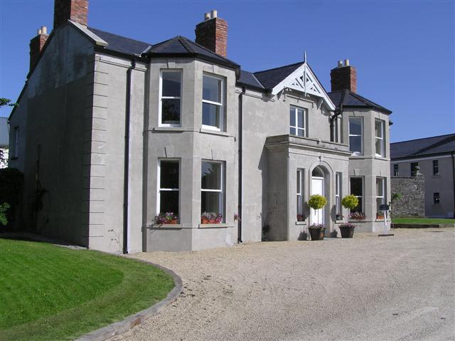 Castle Darganhouse · 281 yd
 Burnt spread in Carrigeenboy (tirerrill By., Collooney Ed)Burnt spread · 539 yd
 Enclosure in CastledarganEnclosure · 632 yd
 Castle (in Ruins)Castle, tower house · 876 yd
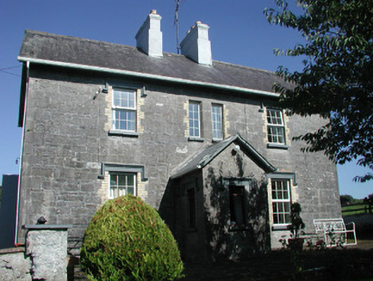 Doonamurray Househouse · 1181 yd
 CastleCastle, motte · 1283 yd
 Giants GraveArchaeological place · 1753 yd
 Union RockForest · 1.8 mi
 Field MapleField Maple · 1.9 mi
 Battle of Collooneybattle · 2.4 mi
 Teeling MonumentMemorial · 2.4 mi
 Aghamore BayBay · 2.8 mi